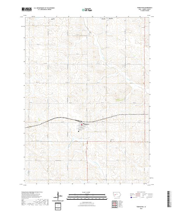
2022 Map of Templeton
USGS Topo · Published 2022About this map
Templeton serves as the central hub of this Carroll County landscape, situated at the intersection of a grid-like road network and the headwaters of the E Nishnabotna River. The town layout is clearly defined by W 3rd St and W 4th St, including the Po and the local Sacred Heart Cem on its southern edge. To the north, the smaller settlements of Halbur and Roselle anchor the agricultural uplands, separated by the gentle drainage of Brushy Cr. This 2022 survey illustrates the enduring rural character of the region, where section lines dictate the placement of thoroughfares like Granite Ave and Ivy Ave. Genealogists may find the location of the Elba Cem significant, as it remains a distinct landmark amidst the open fields southeast of Templeton.
Find a feature on this map
37 named features on this map. Tap any name to fly to it.
Don’t see what you’re looking for? This feature index may not catch every label — zoom into the map to look around manually.
Map Details
Editions of this 2022 Templeton Map
This is the sole edition of this map. No revisions or reprints were ever made.
Other maps of this area

1954 · Omaha
USGS Topo · 1:250,000

1954 · Fort Dodge
USGS Topo · 1:250,000

1957 · Omaha
USGS Topo · 1:250,000

1957 · Fort Dodge
USGS Topo · 1:250,000

1958 · Omaha
USGS Topo · 1:250,000

1958 · Fort Dodge
USGS Topo · 1:250,000

1971 · Viola Center
USGS Topo · 1:24,000

1971 · Dedham
USGS Topo · 1:24,000

1971 · Templeton
USGS Topo · 1:24,000

1971 · Gray
USGS Topo · 1:24,000