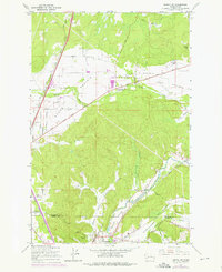
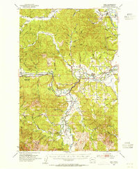
1959 Map of Tenino SW
USGS Topo · Published 1976About this map
The Skookumchuck River and its accompanying rail lines dominate this landscape at the Thurston Co and Lewis Co border. Industrial history is evident in the southern hills, where the Monarch Mine, Stoker Mine, and Majestic Mine are situated south of Centralia. These coal-related sites are linked to a network of tracks, including the Burlington Northern and the Chicago Milwaukee St Paul and Pacific, which serviced the valley's extractory industries during the mid-20th century.
Find a feature on this map
34 named features on this map. Tap any name to fly to it.
Don’t see what you’re looking for? This feature index may not catch every label — zoom into the map to look around manually.
Map Details
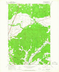
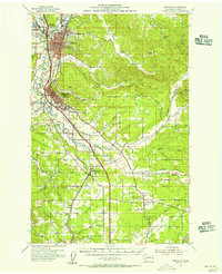
Editions of this 1959 Tenino SW Map
2 editions found
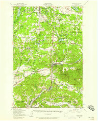
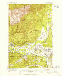
Other maps of this area

1916 · Chehalis
USGS Topo · 1:125,000

1940 · Tenino
USGS Topo · 1:62,500

1941 · Meskill
USGS Topo · 1:62,500

1941 · Gate
USGS Topo · 1:62,500

1944 · Tenino
USGS Topo · 1:62,500
1949 · Tenino
USGS Topo · 1:62,500

1953 · Hoquiam
USGS Topo · 1:250,000
1953 · Rochester
USGS Topo · 1:62,500
1953 · Adna
USGS Topo · 1:62,500
1954 · Centralia
USGS Topo · 1:62,500