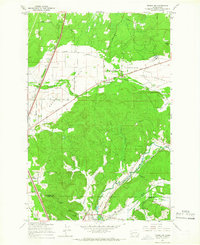
1959 Map of Tenino SW
USGS Topo · Published 1966About this map
Industrial and agricultural landscapes converge at the border of Thurston and Lewis counties, where the Skookumchuck River winds through Waunch Prairie toward the northern limits of Centralia. The geography is defined by a series of distinct open lands, including Violet Prairie, Rock Prairie, and Mound Prairie, which contrast with the timbered hills to the south. This era shows a heavy reliance on rail transport, with the Pacific and St Paul Milwaukee Chicago Railroad and the Northern Pacific Railroad providing essential links for the region's extractive industries.
Find a feature on this map
44 named features on this map. Tap any name to fly to it.
Don’t see what you’re looking for? This feature index may not catch every label — zoom into the map to look around manually.
Map Details
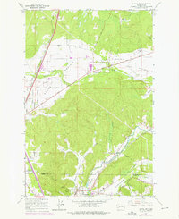
Editions of this 1959 Tenino SW Map
2 editions found
Other maps of this area

1916 · Chehalis
USGS Topo · 1:125,000

1940 · Tenino
USGS Topo · 1:62,500

1941 · Meskill
USGS Topo · 1:62,500

1941 · Gate
USGS Topo · 1:62,500

1944 · Tenino
USGS Topo · 1:62,500

1949 · Tenino
USGS Topo · 1:62,500

1953 · Hoquiam
USGS Topo · 1:250,000

1953 · Rochester
USGS Topo · 1:62,500

1953 · Adna
USGS Topo · 1:62,500

1954 · Centralia
USGS Topo · 1:62,500