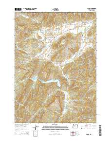
2014 Map of Tenmile
USGS Topo · Published 2014About this map
The settlement of Tenmile sits at the junction of Or-42 and Reston Rd, serving as a central hub in a landscape defined by the winding paths of Tenmile Creek and Olalla Creek. This survey captures the rural character of Douglas County, where family-named landmarks and small-scale water management define the geography. Genealogy researchers will find several local burial sites, including Tenmile Cem, McGuire Cem, and McCulloch Cem, situated near established homestead routes. Timber industry influence is evident at the Cleveland Log Ponds near Porter Creek. The terrain is punctuated by significant geological features such as Dickerson Rocks, Bushnell Rock, and the prominent Chimney Rock in the southwest. Reservoirs like the Berry Cr Reservoir and Edward Wageman Reservoir highlight the importance of water storage for the valley's agricultural and residential needs.
Find a feature on this map
68 named features on this map. Tap any name to fly to it.
Don’t see what you’re looking for? This feature index may not catch every label — zoom into the map to look around manually.
Map Details
Editions of this 2014 Tenmile Map
This is the sole edition of this map. No revisions or reprints were ever made.
Other maps of this area
1897 · Roseburg
USGS Topo · 1:125,000
1900 · Roseburg
USGS Topo · 1:125,000
1904 · Riddle
USGS Topo · 1:125,000
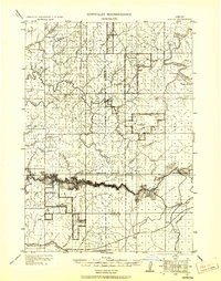
1928 · Sitkum
USGS Topo · 1:125,000
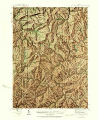
1946 · Dutchman Butte
USGS Topo · 1:62,500
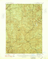
1948 · Dutchman Butte
USGS Topo · 1:62,500
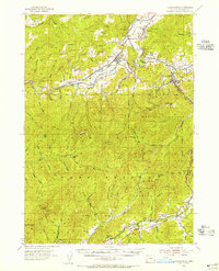
1954 · Canyonville
USGS Topo · 1:62,500
1955 · Camas Valley
USGS Topo · 1:62,500
1955 · Roseburg
USGS Topo · 1:62,500
1955 · Medford
USGS Topo · 1:250,000