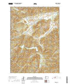
2020 Map of Tenmile
USGS Topo · Published 2020About this map
Tenmile and Olalla serve as the primary hubs in this part of Douglas County, where the landscape is defined by the winding course of Tenmile Cr and Olalla Creek. The map reveals a community structured around narrow valleys and significant water management, evidenced by the Ben Irving Reservoir and Edward Wageman Reservoir. The presence of the Cleveland Log Ponds in the northeast corner points to the local importance of the timber industry, providing a concrete link to the region's economic drivers. Genealogists will find particular value in the placement of several local burial sites, including Tenmile Cem, McGuire Cem, and McCulloch Cem, which are tucked away near established family-named landmarks like Porter Hill and Dickerson Rocks. The terrain is marked by prominent geological features such as Bushnell Rock and Chimney Rock, which anchor the various canyons and mountain ridges that separate these rural settlements.
Find a feature on this map
84 named features on this map. Tap any name to fly to it.
Don’t see what you’re looking for? This feature index may not catch every label — zoom into the map to look around manually.
Map Details
Editions of this 2020 Tenmile Map
This is the sole edition of this map. No revisions or reprints were ever made.
Other maps of this area

1897 · Roseburg
USGS Topo · 1:125,000

1900 · Roseburg
USGS Topo · 1:125,000
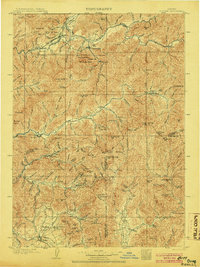
1904 · Riddle
USGS Topo · 1:125,000
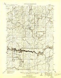
1928 · Sitkum
USGS Topo · 1:125,000
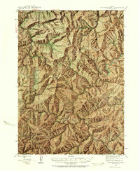
1946 · Dutchman Butte
USGS Topo · 1:62,500
1948 · Dutchman Butte
USGS Topo · 1:62,500
1954 · Canyonville
USGS Topo · 1:62,500
1955 · Camas Valley
USGS Topo · 1:62,500
1955 · Roseburg
USGS Topo · 1:62,500

1955 · Medford
USGS Topo · 1:250,000