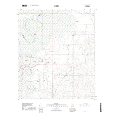
2018 Map of Tensaw
USGS Topo · Published 2018About this map
The Alabama River snakes along the western edge of this territory, forming a natural boundary between Baldwin and Clarke counties. The landscape is defined by an intricate network of waterways and wetlands, including Silver Lake, Southfield Lake, and several small inlets known locally as guts, such as Hall Gut and Wolf Gut. The settlement of Tensaw serves as a central point in the southern half of the quadrangle, where local roads like Monroe Slaughter Rd and Atkinson Mill Rd converge.
Find a feature on this map
44 named features on this map. Tap any name to fly to it.
Don’t see what you’re looking for? This feature index may not catch every label — zoom into the map to look around manually.
Map Details
Editions of this 2018 Tensaw Map
This is the sole edition of this map. No revisions or reprints were ever made.
Other maps of this area
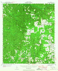
1942 · Perdido
USGS Topo · 1:62,500
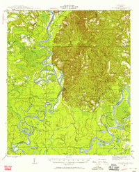
1943 · Choctaw Bluff
USGS Topo · 1:62,500
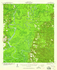
1943 · Tensaw
USGS Topo · 1:62,500
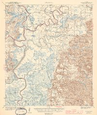
1944 · Tensaw
USGS Topo · 1:62,500
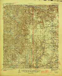
1944 · Perdido
USGS Topo · 1:62,500
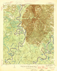
1946 · Choctaw Bluff
USGS Topo · 1:62,500
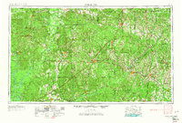
1953 · Andalusia
USGS Topo · 1:250,000
1957 · Andalusia
USGS Topo · 1:250,000
1972 · Chrysler
USGS Topo · 1:24,000
1983 · Vaughn
USGS Topo · 1:24,000