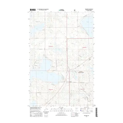
2016 Map of Tenstrike
USGS Topo · Published 2016About this map
The glacial waters of Gull Lake and Blackduck Lake dominate this portion of the lake-rich landscape in north-central Minnesota. The small settlements of Tenstrike and Hines are positioned along the primary transit corridor, serving as local hubs for the surrounding woods and waters. Much of the eastern and southern terrain lies within the Chippewa National Forest, where the landscape is a complex network of wetlands and smaller basins like Erickson Lake and Dutchman Lake. The abundance of water bodies, including Medicine Lake and the smaller School Lake to the south, illustrates the post-glacial topography where local drainage is often defined by short connectors like the Gull River. Residential development is concentrated primarily along the western and northern shores of the larger lakes, as seen in the cluster of local routes near Gull Lake Loop Rd NE.
Find a feature on this map
64 named features on this map. Tap any name to fly to it.
Don’t see what you’re looking for? This feature index may not catch every label — zoom into the map to look around manually.
Map Details
Editions of this 2016 Tenstrike Map
This is the sole edition of this map. No revisions or reprints were ever made.
Other maps of this area
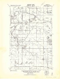
1919 · Quiring
USGS Topo · 1:62,500
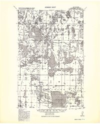
1920 · Buena Vista
USGS Topo · 1:62,500
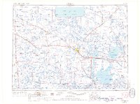
1954 · Bemidji
USGS Topo · 1:250,000
1957 · Bemidji
USGS Topo · 1:250,000
1958 · Bemidji
USGS Topo · 1:250,000
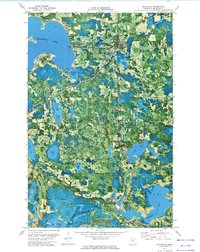
1972 · Blackduck
USGS Topo · 1:24,000
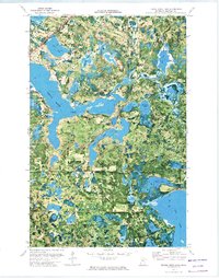
1972 · Turtle River Lake
USGS Topo · 1:24,000
1972 · Pimushe Lake
USGS Topo · 1:24,000
1972 · White Fish Lake
USGS Topo · 1:24,000
1972 · O'Brien Lookout Tower
USGS Topo · 1:24,000