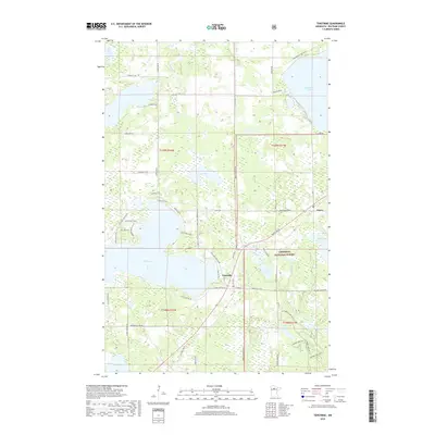
2019 Map of Tenstrike
USGS Topo · Published 2019About this map
Tenstrike and Hines anchor this 2019 survey of the lake-studded landscape of Beltrami County. This area is defined by a dense network of freshwater bodies and wetlands, including the expansive Gull Lake and Blackduck Lake. The settlement of Tenstrike sits just west of the Chippewa National Forest boundary, a region where timber and recreation are central to the local character. Smaller waters like Medicine Lake, Loon Lake, and Dutchman Lake are interspersed between local transit routes such as Bemidji Rd NE and Gull Lake Loop Rd NE. The map details the intricate drainage patterns of the Gull River and O'Brien Cr, illustrating how the terrain transitions from open water to marshland. Significant for its depiction of modern road names and forest boundaries, the sheet provides a clear look at the rural residential developments and protected lands that shape this part of northern Minnesota.
Find a feature on this map
63 named features on this map. Tap any name to fly to it.
Don’t see what you’re looking for? This feature index may not catch every label — zoom into the map to look around manually.
Map Details
Editions of this 2019 Tenstrike Map
This is the sole edition of this map. No revisions or reprints were ever made.
Other maps of this area
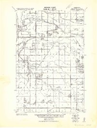
1919 · Quiring
USGS Topo · 1:62,500
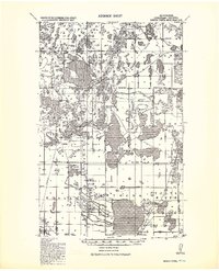
1920 · Buena Vista
USGS Topo · 1:62,500
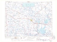
1954 · Bemidji
USGS Topo · 1:250,000
1957 · Bemidji
USGS Topo · 1:250,000
1958 · Bemidji
USGS Topo · 1:250,000
1972 · Blackduck
USGS Topo · 1:24,000
1972 · Turtle River Lake
USGS Topo · 1:24,000
1972 · Pimushe Lake
USGS Topo · 1:24,000
1972 · White Fish Lake
USGS Topo · 1:24,000
1972 · O'Brien Lookout Tower
USGS Topo · 1:24,000