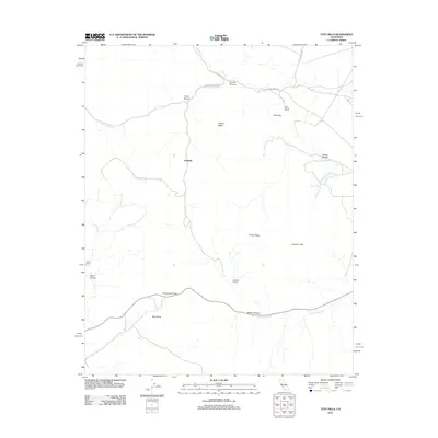
2012 Map of Tent Hills
USGS Topo · Published 2012About this map
Avenal Ridge and the Tent Hills define the high country of this interior landscape in the early 21st century. The map centers on the small settlement of Acebedo, showing a sparsely populated region dominated by private landholdings and rugged canyons. Significant ranching locations like Iron Spring Ranch, Acebedo Ranch, and Fahey Ranch are situated among the peaks, suggesting the area's ongoing agricultural and pastoral utility. Transportation through the hills is marked by the winding route over Cottonwood Pass and the rugged Little Avenal Creek Trl. Water sources are vital but seasonal, represented by the drainages of Avenal Cr, Little Avenal Cr, and Cottonwood Cr. The survey details a landscape where elevation and water dictate the locations of human activity, from the depths of Lovel Canyon to the heights of Johnson Peak.
Find a feature on this map
21 named features on this map. Tap any name to fly to it.
Don’t see what you’re looking for? This feature index may not catch every label — zoom into the map to look around manually.
Map Details
Editions of this 2012 Tent Hills Map
This is the sole edition of this map. No revisions or reprints were ever made.
Other maps of this area

1914 · Cholame
USGS Topo · 1:125,000

1915 · Cholame
USGS Topo · 1:125,000

1917 · Cholame
USGS Topo · 1:125,000

1930 · Kettleman Plain
USGS Topo · 1:31,680

1933 · Kettleman Plain
USGS Topo · 1:31,680

1934 · The Dark Hole
USGS Topo · 1:31,680

1934 · Reef Ridge
USGS Topo · 1:31,680
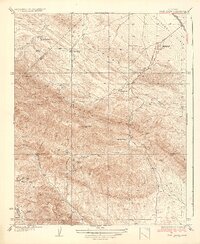
1937 · Reef Ridge
USGS Topo · 1:31,680
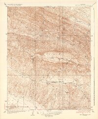
1937 · The Dark Hole
USGS Topo · 1:31,680

1942 · Tent Hills
USGS Topo · 1:24,000