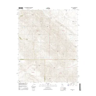
2015 Map of Tent Hills
USGS Topo · Published 2015About this map
Acebedo sits at the heart of this topographic landscape where the boundaries of Kings, Monterey, San Luis Obispo, and Kern counties converge. The terrain is defined by the sharp elevations of the Diablo Range, featuring prominent landmarks like Johnson Peak and the Three Peaks. A complex drainage system including Avenal Cr and Little Avenal Cr carves through the ridges, creating deep cuts such as Poison Oak Canyon and Catskin Canyon.
Find a feature on this map
34 named features on this map. Tap any name to fly to it.
Don’t see what you’re looking for? This feature index may not catch every label — zoom into the map to look around manually.
Map Details
Editions of this 2015 Tent Hills Map
This is the sole edition of this map. No revisions or reprints were ever made.
Other maps of this area
1914 · Cholame
USGS Topo · 1:125,000
1915 · Cholame
USGS Topo · 1:125,000
1917 · Cholame
USGS Topo · 1:125,000
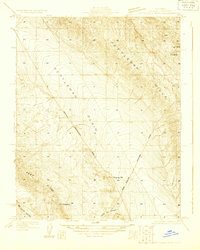
1930 · Kettleman Plain
USGS Topo · 1:31,680
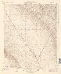
1933 · Kettleman Plain
USGS Topo · 1:31,680
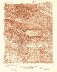
1934 · The Dark Hole
USGS Topo · 1:31,680
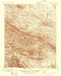
1934 · Reef Ridge
USGS Topo · 1:31,680
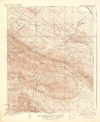
1937 · Reef Ridge
USGS Topo · 1:31,680
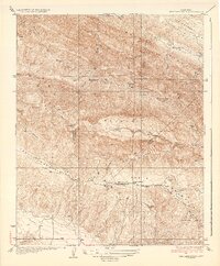
1937 · The Dark Hole
USGS Topo · 1:31,680
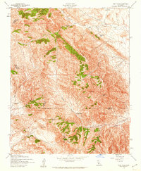
1942 · Tent Hills
USGS Topo · 1:24,000