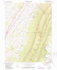
1967 Map of Tenth Legion
USGS Topo · Published 1987About this map
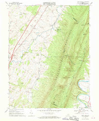
Massanutten Mountain dominates the eastern half of this landscape, its steep ridges defining the transition from the valley floor to the George Washington National Forest. Along the western edge, the small settlement of Tenth Legion and the community of Mauzy lie at the base of the foothills, surrounded by family-named landmarks like Lincoln Hill and Roark Hill. The map highlights a rural infrastructure of country churches, including St Pauls Ch and Bethlehem Ch, and marks the location of the Endless Caverns near the base of the ridge.
Find a feature on this map
56 named features on this map. Tap any name to fly to it.
Don’t see what you’re looking for? This feature index may not catch every label — zoom into the map to look around manually.
Map Details
Editions of this 1967 Tenth Legion Map
2 editions found
Other maps of this area

1892 · Woodstock
USGS Topo · 1:125,000

1892 · Harrisonburg
USGS Topo · 1:125,000

1937 · Elkton
USGS Topo · 1:62,500

1941 · Harrisonburg
USGS Topo · 1:62,500

1942 · Mt Jackson
USGS Topo · 1:62,500

1943 · Harrisonburg
USGS Topo · 1:62,500

1946 · Mt Jackson
USGS Topo · 1:62,500

1947 · Mt Jackson
USGS Topo · 1:62,500

1947 · Broadway
USGS Topo · 1:62,500

1949 · Charlottesville
USGS Topo · 1:250,000