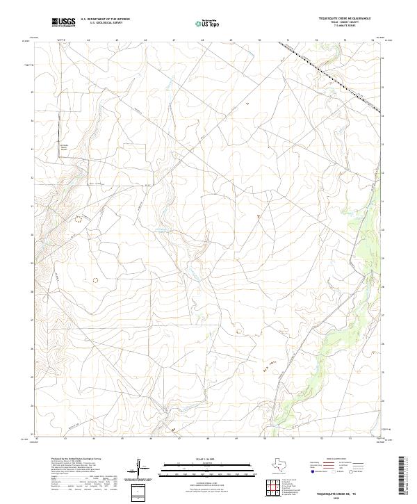
2022 Map of Tequesquite Creek NE
USGS Topo · Published 2022About this map
Tequesquite Cr and Elm Cr thread through the ranching country of western Texas, where the landscape is defined by vast tracts of private land and seasonal waterways. A notable center of activity in this rural stretch is the La Fonda Ranch Airport, located in the northwest near Cow Cr. The presence of Emil Bayer Lake provides a rare permanent water feature in a region where drainage patterns like Las Moras Cr often depend on intermittent flows. A network of named ranch roads and lanes, including Koch - La Fonda Ln, Gaebler Rd, and Las Moras Rd, trace the historic property boundaries and access routes that have supported the local cattle and livestock industry for generations.
Find a feature on this map
19 named features on this map. Tap any name to fly to it.
Don’t see what you’re looking for? This feature index may not catch every label — zoom into the map to look around manually.
Map Details
Editions of this 2022 Tequesquite Creek NE Map
This is the sole edition of this map. No revisions or reprints were ever made.
Other maps of this area

1896 · Brackett
USGS Topo · 1:125,000

1897 · Brackett
USGS Topo · 1:125,000

1941 · Standart
USGS Topo · 1:62,500

1941 · Tequesquite Creek
USGS Topo · 1:62,500

1943 · Standart
USGS Topo · 1:62,500

1944 · Tequesquite Creek
USGS Topo · 1:62,500

1944 · Spofford
USGS Topo · 1:62,500

1944 · Brackettville
USGS Topo · 1:62,500

1958 · Del Rio
USGS Topo · 1:250,000

1964 · Del Rio
USGS Topo · 1:250,000