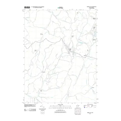
2011 Map of Terra Alta
USGS Topo · Published 2011About this map
Terra Alta serves as the central hub of this Preston County landscape, situated where the North Branch Snowy Creek meet the higher elevations of the Briery Mountains. The town's layout is defined by the intersection of Brandonville St and Sander St, with the Terra Alta Post Office at its core. To the east, the Alpine Lake resort area and the Hopemont settlement suggest a history of seasonal recreation and long-term institutional presence.
Find a feature on this map
80 named features on this map. Tap any name to fly to it.
Don’t see what you’re looking for? This feature index may not catch every label — zoom into the map to look around manually.
Map Details
Editions of this 2011 Terra Alta Map
This is the sole edition of this map. No revisions or reprints were ever made.
Other maps of this area

1886 · St. George
USGS Topo · 1:125,000

1891 · St. George
USGS Topo · 1:125,000

1895 · Piedmont
USGS Topo · 1:125,000

1899 · Oakland
USGS Topo · 1:62,500

1900 · Accident
USGS Topo · 1:62,500

1900 · Oakland
USGS Topo · 1:62,500

1904 · Bruceton
USGS Topo · 1:62,500

1907 · Kingwood
USGS Topo · 1:62,500

1925 · Kingwood
USGS Topo · 1:62,500

1926 · Bruceton
USGS Topo · 1:62,500