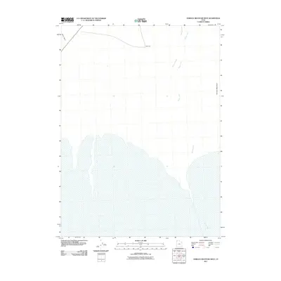
2011 Map of Terrace Mountain West
USGS Topo · Published 2011About this map
Terrace Mountain stands as the primary topographical anchor in this arid region of Box Elder County, where the landscape is defined by the intermittent drainage patterns of the Great Basin. This 2011 survey illustrates a sparse environment where seasonal water sources like Sand Wash and Watercress dictate the local geography. The hydrologic network is further detailed by the courses of Muddy Creek and Rosebud Creek, which flow toward the salt flats and wetlands visible in the southern half of the quadrangle. The lack of major infrastructure or settlements emphasizes the remote, natural state of the Great Salt Lake Desert fringe during this period.
Find a feature on this map
5 named features on this map. Tap any name to fly to it.
Don’t see what you’re looking for? This feature index may not catch every label — zoom into the map to look around manually.
Map Details
Editions of this 2011 Terrace Mountain West Map
This is the sole edition of this map. No revisions or reprints were ever made.
Other maps of this area

1954 · Brigham City
USGS Topo · 1:250,000

1958 · Brigham City
USGS Topo · 1:250,000

1962 · Brigham City
USGS Topo · 1:250,000

1971 · Prohibition Spring
USGS Topo · 1:24,000

1971 · Emigrant Pass
USGS Topo · 1:24,000

1971 · Red Dome
USGS Topo · 1:24,000

1983 · Jackson
USGS Topo · 1:24,000

1983 · Lemay
USGS Topo · 1:24,000

1983 · Bovine SE
USGS Topo · 1:24,000

1983 · Terrace Mountain West
USGS Topo · 1:24,000