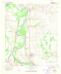
1968 Map of Terral
USGS Topo · Published 1971About this map
The Red River defines the border between Oklahoma and Texas in this 1968 survey, where the winding waterway meets the confluence of the Little Wichita River. The settlement of Terral serves as the primary hub in this river valley, centered around the Chicago Rock Island and Pacific railroad line which runs north-to-south through the center of the sheet. The landscape is marked by a series of bench-like terrain features such as Blackburn and Wray, suggesting a topography shaped by fluvial erosion.
Find a feature on this map
19 named features on this map. Tap any name to fly to it.
Don’t see what you’re looking for? This feature index may not catch every label — zoom into the map to look around manually.
Map Details
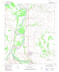
Editions of this 1968 Terral Map
2 editions found
Other maps of this area

1901 · Addington
USGS Topo · 1:125,000

1905 · Montague
USGS Topo · 1:125,000

1954 · Sherman
USGS Topo · 1:250,000

1954 · Wichita Falls
USGS Topo · 1:250,000

1955 · Lawton
USGS Topo · 1:250,000

1956 · Henrietta
USGS Topo · 1:62,500

1957 · Hastings
USGS Topo · 1:62,500

1957 · Ardmore
USGS Topo · 1:250,000

1958 · Wichita Falls
USGS Topo · 1:250,000

1958 · Sherman
USGS Topo · 1:250,000