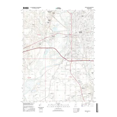
2016 Map of Terre Haute
USGS Topo · Published 2016About this map
The Wabash River bisects this landscape, separating the urban grid of Terre Haute from the valley floor and western uplands. In the city, the Indiana State Univ campus and the historic Twelve Points neighborhood represent the core of 21st-century development, while the remaining trace of the Wabash and Erie Canal provides a link to the 19th-century transport era. To the west, the river bottomlands give way to settlements like West Terre Haute and the distinctly named Toad Hop. Higher ground to the northwest is defined by Saint Mary of the Woods and residential pockets like Marion Heights. The infrastructure of the Penn Central RR and local burial grounds, including Grandview Cem and Durham Cem, offer specific points of interest for genealogists and local historians tracking the evolution of Vigo County's riverfront communities.
Find a feature on this map
75 named features on this map. Tap any name to fly to it.
Don’t see what you’re looking for? This feature index may not catch every label — zoom into the map to look around manually.
Map Details
Editions of this 2016 Terre Haute Map
This is the sole edition of this map. No revisions or reprints were ever made.
Other maps of this area

1932 · Marshall
USGS Topo · 1:62,500

1937 · Marshall
USGS Topo · 1:62,500

1940 · Lewis
USGS Topo · 1:24,000

1940 · Pimento
USGS Topo · 1:24,000

1941 · Seelyville
USGS Topo · 1:24,000

1941 · Terre Haute
USGS Topo · 1:24,000

1942 · Hutton
USGS Topo · 1:24,000

1942 · Dennison
USGS Topo · 1:24,000

1947 · Paris
USGS Topo · 1:62,500

1948 · Terre Haute
USGS Topo · 1:24,000