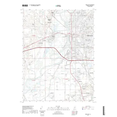
2019 Map of Terre Haute
USGS Topo · Published 2019About this map
The Wabash River carves a deep path through this Vigo County landscape, separating the urban core of Terre Haute from the smaller communities to the west. This modern topographic view reveals the dense street grids of neighborhood centers like Twelve Points and West Terre Haute, contrasted with the industrial and institutional land use patterns south of the city center. A significant historical footprint remains visible through the alignment of the Wabash Erie Canal and the presence of the U S Prison complex along US Prison Rd.
Find a feature on this map
172 named features on this map. Tap any name to fly to it.
Don’t see what you’re looking for? This feature index may not catch every label — zoom into the map to look around manually.
Map Details
Editions of this 2019 Terre Haute Map
This is the sole edition of this map. No revisions or reprints were ever made.
Other maps of this area

1932 · Marshall
USGS Topo · 1:62,500

1937 · Marshall
USGS Topo · 1:62,500

1940 · Lewis
USGS Topo · 1:24,000

1940 · Pimento
USGS Topo · 1:24,000

1941 · Seelyville
USGS Topo · 1:24,000

1941 · Terre Haute
USGS Topo · 1:24,000

1942 · Hutton
USGS Topo · 1:24,000

1942 · Dennison
USGS Topo · 1:24,000

1947 · Paris
USGS Topo · 1:62,500

1948 · Terre Haute
USGS Topo · 1:24,000