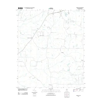
2012 Map of Terry NW
USGS Topo · Published 2012About this map
Tallahalla Creek and its many tributaries, including Elda Hill Creek and Moore Spring Branch, define the hydrology of this rural Hinds County landscape. The area is characterized by scattered family-named cemeteries such as Carter Cemetery, Bedwell Cemetery, and Salmon Cemetery, which provide critical reference points for genealogical research in this part of Mississippi. Small communities and junctions like Palestine, Dry Grove, Fairchilds Crossroads, and Midway anchor the local road network.
Find a feature on this map
78 named features on this map. Tap any name to fly to it.
Don’t see what you’re looking for? This feature index may not catch every label — zoom into the map to look around manually.
Map Details
Editions of this 2012 Terry NW Map
This is the sole edition of this map. No revisions or reprints were ever made.
Other maps of this area

1903 · Jackson
USGS Topo · 1:125,000

1934 · Raymond
USGS Topo · 1:48,000

1937 · Raymond
USGS Topo · 1:62,500

1937 · Terry
USGS Topo · 1:48,000

1938 · Edwards
USGS Topo · 1:62,500

1942 · Raymond
USGS Topo · 1:62,500

1943 · Terry
USGS Topo · 1:62,500

1955 · Jackson
USGS Topo · 1:250,000

1961 · Jackson
USGS Topo · 1:250,000

1962 · Jackson
USGS Topo · 1:250,000