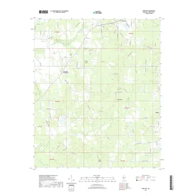
2018 Map of Terry NW
USGS Topo · Published 2018About this map
Fourteenmile Creek and the many branches of Tallatalla Creek carve through this Hinds County landscape, defining the rural character of the region south of Raymond. The area is marked by a network of historic family-named burial grounds, including Salmon Cem, Bedwell Cem, and Carter Cem, which provide essential touchstones for genealogical research in this part of Mississippi.
Find a feature on this map
78 named features on this map. Tap any name to fly to it.
Don’t see what you’re looking for? This feature index may not catch every label — zoom into the map to look around manually.
Map Details
Editions of this 2018 Terry NW Map
This is the sole edition of this map. No revisions or reprints were ever made.
Other maps of this area

1903 · Jackson
USGS Topo · 1:125,000

1934 · Raymond
USGS Topo · 1:48,000

1937 · Raymond
USGS Topo · 1:62,500

1937 · Terry
USGS Topo · 1:48,000

1938 · Edwards
USGS Topo · 1:62,500

1942 · Raymond
USGS Topo · 1:62,500

1943 · Terry
USGS Topo · 1:62,500

1955 · Jackson
USGS Topo · 1:250,000

1961 · Jackson
USGS Topo · 1:250,000

1962 · Jackson
USGS Topo · 1:250,000