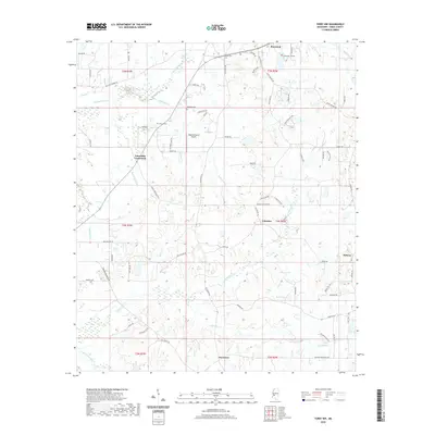
2020 Map of Terry NW
USGS Topo · Published 2020About this map
Raymond anchors the northern edge of this landscape, where the Hinds County terrain transitions into a complex network of creeks and small rural settlements. The area is defined by the winding paths of Fourteenmile Cr and Tallahalla Cr, which carve through the countryside near historic locations like Fairchilds Crossroads and Palestine. For those tracing local families, the presence of Salmon Cem, Bedwell Cem, and Garter Cem provides specific points of interest amidst the woodlots and fields. The map also documents the modern rural infrastructure, including Dogwood Acres Airport and the small community of Midway. The distribution of farm-to-market roads like Old Port Gibson Rd and Dry Grove Rd reflects the long-standing agricultural patterns of this part of Mississippi, connecting disparate points like Dry Grove to the larger county network.
Find a feature on this map
74 named features on this map. Tap any name to fly to it.
Don’t see what you’re looking for? This feature index may not catch every label — zoom into the map to look around manually.
Map Details
Editions of this 2020 Terry NW Map
This is the sole edition of this map. No revisions or reprints were ever made.
Other maps of this area

1903 · Jackson
USGS Topo · 1:125,000

1934 · Raymond
USGS Topo · 1:48,000

1937 · Raymond
USGS Topo · 1:62,500

1937 · Terry
USGS Topo · 1:48,000

1938 · Edwards
USGS Topo · 1:62,500

1942 · Raymond
USGS Topo · 1:62,500

1943 · Terry
USGS Topo · 1:62,500

1955 · Jackson
USGS Topo · 1:250,000

1961 · Jackson
USGS Topo · 1:250,000

1962 · Jackson
USGS Topo · 1:250,000