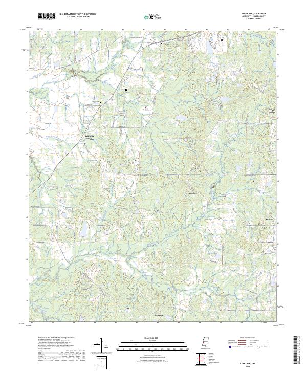
2024 Map of Terry NW
USGS Topo · Published 2024About this map
Fairchilds Crossroads and the surrounding rural communities of Hinds County define this landscape, where tributary systems like Fourteenmile Creek and Snake Creek drain toward the Big Black River basin. Small rural hubs such as Palestine and Dry Grove are connected by a network of historic routes, including Old Port Gibson Rd. The area maintains its agricultural and residential character, marked by scattered family burial grounds like Salmon Cem and Bedwell Cem. In the northeastern corner, Seven Springs sits near the headwaters of McDonald Creek, while the southern portion is defined by the winding course of Tallahalla Creek and recreational water bodies such as Jomar Lake and Bar-S Lake. Local aviation history is represented by Dogwood Acres Airport, situated central to the township lines.
Find a feature on this map
76 named features on this map. Tap any name to fly to it.
Don’t see what you’re looking for? This feature index may not catch every label — zoom into the map to look around manually.
Map Details
Editions of this 2024 Terry NW Map
This is the sole edition of this map. No revisions or reprints were ever made.
Other maps of this area

1903 · Jackson
USGS Topo · 1:125,000

1934 · Raymond
USGS Topo · 1:48,000

1937 · Raymond
USGS Topo · 1:62,500

1937 · Terry
USGS Topo · 1:48,000

1938 · Edwards
USGS Topo · 1:62,500

1942 · Raymond
USGS Topo · 1:62,500

1943 · Terry
USGS Topo · 1:62,500

1955 · Jackson
USGS Topo · 1:250,000

1961 · Jackson
USGS Topo · 1:250,000

1962 · Jackson
USGS Topo · 1:250,000