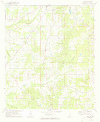
1971 Map of Terry NW
USGS Topo · Published 1973About this map
Fairehilds Crossroads and the surrounding rural communities of Hinds County are documented in this 1971 survey. The landscape is defined by the headwaters of Fourteenmile Creek and Tallahalla Creek, which create a network of drainage basins supporting a mix of agricultural fields and woodland. Notable community centers include Palestine and Dry Grove, each anchored by local institutions such as Palestine Ch and Paige Grove Ch.
Find a feature on this map
31 named features on this map. Tap any name to fly to it.
Don’t see what you’re looking for? This feature index may not catch every label — zoom into the map to look around manually.
Map Details
Editions of this 1971 Terry NW Map
This is the sole edition of this map. No revisions or reprints were ever made.
Other maps of this area

1903 · Jackson
USGS Topo · 1:125,000

1934 · Raymond
USGS Topo · 1:48,000

1937 · Raymond
USGS Topo · 1:62,500

1937 · Terry
USGS Topo · 1:48,000

1938 · Edwards
USGS Topo · 1:62,500

1942 · Raymond
USGS Topo · 1:62,500

1943 · Terry
USGS Topo · 1:62,500

1955 · Jackson
USGS Topo · 1:250,000

1961 · Jackson
USGS Topo · 1:250,000

1962 · Jackson
USGS Topo · 1:250,000