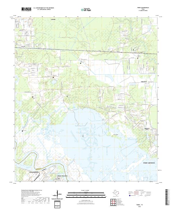
2022 Map of Terry
USGS Topo · Published 2022About this map
Cow Bayou and the meandering Neches River define this coastal Texas landscape between Vidor and Bridge City. This modern survey illustrates the complex marshland hydrology of the region, featuring Gum Island and the branching waterways of Grays Bayou and Bird Island Bayou. The map is particularly dense with small, family-named burial sites that speak to the area's agricultural and settlement history, such as the Kishi Colony Cem, Walles Cem, and Stephenson Cem. Industrial and residential development is concentrated along the southern corridor near Port Arthur and Port Neches, while the northern reaches maintain a network of rural routes like S Terry Rd and FM 1135 serving small communities like Oilla and Connell.
Find a feature on this map
125 named features on this map. Tap any name to fly to it.
Don’t see what you’re looking for? This feature index may not catch every label — zoom into the map to look around manually.
Map Details
Editions of this 2022 Terry Map
This is the sole edition of this map. No revisions or reprints were ever made.
Other maps of this area

1926 · Terry
USGS Topo · 1:24,000

1926 · Lakeview
USGS Topo · 1:24,000

1926 · Vidor
USGS Topo · 1:24,000

1926 · Texla
USGS Topo · 1:24,000

1926 · Mauriceville
USGS Topo · 1:24,000

1932 · Beaumont
USGS Topo · 1:62,500

1932 · Port Arthur NE
USGS Topo · 1:31,680

1943 · West of Greens Bayou
USGS Topo · 1:24,000

1943 · Orangefield
USGS Topo · 1:24,000

1943 · Mauriceville
USGS Topo · 1:24,000