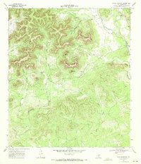
1969 Map of Texas Mountain
USGS Topo · Published 1972About this map
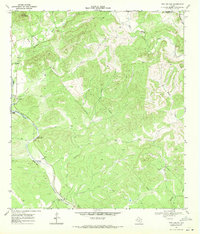
Texas Mountain rises as a central landmark in this 1969 topographic portrait of northeastern Medina County. The landscape is defined by its complex drainage network and prominent limestone elevations, where Saathoff Mountain and Split Mountain overlook deep ravines such as Deadman Hollow and Trough Hollow. Numerous water sources are meticulously documented, from the secluded Twin Springs and Yellow Spring to the significant Blue Waterhole on the banks of Hondo Creek.
Find a feature on this map
27 named features on this map. Tap any name to fly to it.
Don’t see what you’re looking for? This feature index may not catch every label — zoom into the map to look around manually.
Map Details
Editions of this 1969 Texas Mountain Map
This is the sole edition of this map. No revisions or reprints were ever made.
Other maps of this area

1954 · San Antonio
USGS Topo · 1:250,000

1956 · Sabinal
USGS Topo · 1:62,500

1956 · New Fountain
USGS Topo · 1:62,500

1956 · Tarpley
USGS Topo · 1:62,500

1956 · Bandera
USGS Topo · 1:62,500

1957 · San Antonio
USGS Topo · 1:250,000
1964 · Tarpley
USGS Topo · 1:24,000
1964 · Tarpley Pass
USGS Topo · 1:24,000
1964 · Seco Pass
USGS Topo · 1:24,000
1969 · Twin Hollow
USGS Topo · 1:24,000