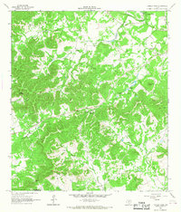
1964 Map of Tarpley Pass
USGS Topo · Published 1968About this map
The Medina River cuts through the northeastern corner of this landscape, marking a sharp transition into the broken terrain of the Texas Hill Country. West of the river, the land rises into a series of limestone ridges and narrow canyons, including Elam Canyon and Bishop Hollow. The mapping reveals a sparse settlement pattern dominated by established ranches and small communities like El Paraiso Ranch and Highland Waters, connected by winding roads and a Jeep Trail.
Find a feature on this map
28 named features on this map. Tap any name to fly to it.
Don’t see what you’re looking for? This feature index may not catch every label — zoom into the map to look around manually.
Map Details
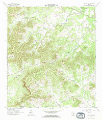
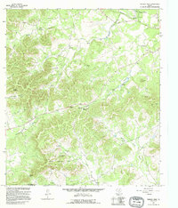
Editions of this 1964 Tarpley Pass Map
3 editions found
Other maps of this area

1954 · San Antonio
USGS Topo · 1:250,000

1956 · Tarpley
USGS Topo · 1:62,500

1956 · Tuff
USGS Topo · 1:62,500

1956 · Bandera
USGS Topo · 1:62,500

1956 · Center Point
USGS Topo · 1:62,500

1957 · San Antonio
USGS Topo · 1:250,000

1964 · Bandera
USGS Topo · 1:24,000

1964 · Timber Creek
USGS Topo · 1:24,000

1964 · Rock Cliff Reservoir
USGS Topo · 1:24,000
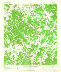
1964 · A Bar A Ranch
USGS Topo · 1:24,000