
1964 Map of Timber Creek
USGS Topo · Published 1967About this map
Middle Verde Creek and its various forks carve through the limestone landscape of the Balcones Escarpment in the mid-1960s. This survey, completed shortly after the 1963 aerial photography phase, shows a region defined by its water sources and ranching infrastructure. Numerous named springs, such as Indian Spring, Moccasin Spring, and Middle Spring, indicate the vital role of groundwater in this part of the Texas Hill Country.
Find a feature on this map
31 named features on this map. Tap any name to fly to it.
Don’t see what you’re looking for? This feature index may not catch every label — zoom into the map to look around manually.
Map Details
Editions of this 1964 Timber Creek Map
This is the sole edition of this map. No revisions or reprints were ever made.
Other maps of this area

1954 · San Antonio
USGS Topo · 1:250,000

1956 · New Fountain
USGS Topo · 1:62,500

1956 · Bandera
USGS Topo · 1:62,500

1956 · Medina Lake
USGS Topo · 1:62,500

1957 · San Antonio
USGS Topo · 1:250,000

1964 · Riomedina
USGS Topo · 1:24,000

1964 · Bandera
USGS Topo · 1:24,000

1964 · Medina Lake
USGS Topo · 1:24,000
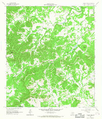
1964 · Tarpley Pass
USGS Topo · 1:24,000
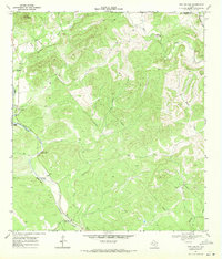
1969 · Twin Hollow
USGS Topo · 1:24,000