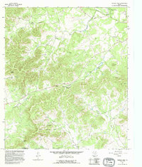
1964 Map of Tarpley Pass
USGS Topo · Published 1995About this map
The Hill Country State Natural Area anchors this landscape in the mid-1960s, showing a rugged terrain where the boundaries of Medina Co and Bandera Co meet. The hydrology of the region is defined by the winding Medina River and its numerous feeding streams like Winans Creek and Commissioners Creek. Notable water sources such as Indian Spring and Pear Tree Spring suggest the importance of reliable water in this karst topography. Ranching and recreational development are evident through the presence of El Paraiso Ranch and the Highland Waters community. Strategic points like Tarpley Pass and Barnes Gap navigate the elevations of Chalk Mountain and its surrounding hollows, reflecting the natural corridors used for travel through the Central Texas hills before modern highway expansion.
Find a feature on this map
30 named features on this map. Tap any name to fly to it.
Don’t see what you’re looking for? This feature index may not catch every label — zoom into the map to look around manually.
Map Details
Editions of this 1964 Tarpley Pass Map
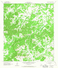
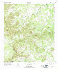
3 editions found
Other maps of this area

1954 · San Antonio
USGS Topo · 1:250,000

1956 · Tarpley
USGS Topo · 1:62,500

1956 · Tuff
USGS Topo · 1:62,500

1956 · Bandera
USGS Topo · 1:62,500

1956 · Center Point
USGS Topo · 1:62,500

1957 · San Antonio
USGS Topo · 1:250,000

1964 · Bandera
USGS Topo · 1:24,000

1964 · Timber Creek
USGS Topo · 1:24,000

1964 · Rock Cliff Reservoir
USGS Topo · 1:24,000
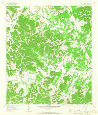
1964 · A Bar A Ranch
USGS Topo · 1:24,000