
1964 Map of Rock Cliff Reservoir
USGS Topo · Published 1967About this map
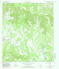
Medina River meanders through the Texas Hill Country in this mid-1960s survey, anchoring a landscape defined by deep limestone draws and emerging water management projects. The settlement of Medina serves as a local hub, featuring a High Sch, Moffett Park, and a Cem, while a Roadside Park marks the path of the main valley thoroughfare. The topography is intricately carved by drainages such as Larson Creek, Benton Creek, and Hicks Creek, which feed into the primary river valley.
Find a feature on this map
37 named features on this map. Tap any name to fly to it.
Don’t see what you’re looking for? This feature index may not catch every label — zoom into the map to look around manually.
Map Details
Editions of this 1964 Rock Cliff Reservoir Map
2 editions found
Other maps of this area

1954 · San Antonio
USGS Topo · 1:250,000

1956 · Tarpley
USGS Topo · 1:62,500

1956 · Tuff
USGS Topo · 1:62,500

1956 · Bandera
USGS Topo · 1:62,500

1956 · Center Point
USGS Topo · 1:62,500

1957 · San Antonio
USGS Topo · 1:250,000

1964 · Center Point
USGS Topo · 1:24,000

1964 · Echo Hill Ranch
USGS Topo · 1:24,000

1964 · Bandera
USGS Topo · 1:24,000
1964 · A Bar A Ranch
USGS Topo · 1:24,000