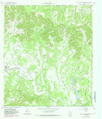
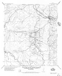
1964 Map of Rock Cliff Reservoir
USGS Topo · Published 1982About this map
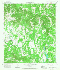
The Medina River carves a deep valley through the limestone hills of Bandera County, anchoring a landscape defined by ranching and mid-century water management. At the western edge of the sheet, the community of Medina serves as a hub, complete with its High Sch, while the rural surroundings are marked by family-named landmarks like Mount Medina and Cedar Ridge. The 1982 revisions on this 1964 survey highlight the growth of leisure and youth retreats, including Camp Sionito and the developing residential area of Highland Waters.
Find a feature on this map
45 named features on this map. Tap any name to fly to it.
Don’t see what you’re looking for? This feature index may not catch every label — zoom into the map to look around manually.
Map Details
Editions of this 1964 Rock Cliff Reservoir Map
2 editions found
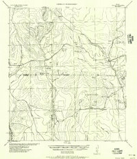
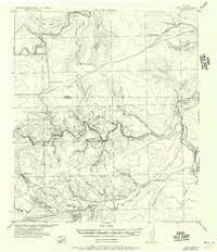
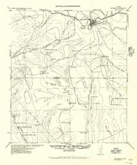
Other maps of this area

1954 · San Antonio
USGS Topo · 1:250,000
1956 · Tarpley
USGS Topo · 1:62,500
1956 · Tuff
USGS Topo · 1:62,500
1956 · Bandera
USGS Topo · 1:62,500
1956 · Center Point
USGS Topo · 1:62,500

1957 · San Antonio
USGS Topo · 1:250,000
1964 · Center Point
USGS Topo · 1:24,000
1964 · Echo Hill Ranch
USGS Topo · 1:24,000
1964 · Bandera
USGS Topo · 1:24,000
1964 · Rock Cliff Reservoir
USGS Topo · 1:24,000