
1961 Map of Thacker Pass
USGS Topo · Published 1963About this map
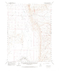
The Kings River Valley and surrounding desert ranges define this early 1960s landscape, a region marked by extensive cattle ranching infrastructure and remote mountain passes. In the south, the Quinn River meanders toward the Quinn River Lakes, passing just below the northern edge of the Fort Mc Dermitt Indian Reservation. The geography is dominated by the massive Double H Mountains and the Montana Mts, separated by the namesake Thacker Pass.
Find a feature on this map
39 named features on this map. Tap any name to fly to it.
Don’t see what you’re looking for? This feature index may not catch every label — zoom into the map to look around manually.
Map Details
Editions of this 1961 Thacker Pass Map
2 editions found
Other maps of this area

1882 · Paradise
USGS Topo · 1:250,000

1886 · Disaster
USGS Topo · 1:250,000

1893 · Paradise
USGS Topo · 1:250,000

1893 · Disaster
USGS Topo · 1:250,000

1954 · Vya
USGS Topo · 1:250,000

1955 · McDermitt
USGS Topo · 1:250,000

1958 · Vya
USGS Topo · 1:250,000

1958 · Awakening Peak
USGS Topo · 1:62,500

1959 · McDermitt
USGS Topo · 1:250,000

1959 · Orovada
USGS Topo · 1:62,500