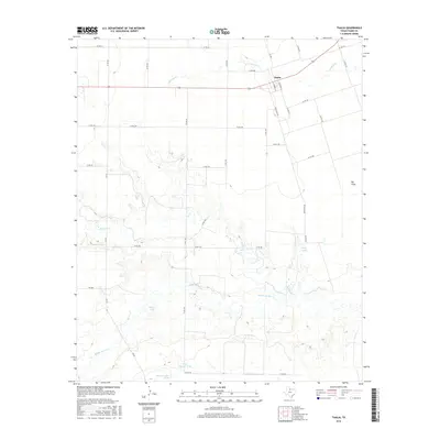
2016 Map of Thalia
USGS Topo · Published 2016About this map
Thalia serves as the primary hub of this North Texas landscape, where the street grid of S Campbell St and S Seymour St meets a wide network of county roads. The terrain is defined by the winding paths of Paradise Cr, Beaver Cr, and Middle Beaver Cr, which cut through the ranch land. To the east, the sprawling area known as Big Field provides a contrast to the riparian zones and scattered watering holes like Three-Quarter Tank and Mare Pasture Tank. This 2016 survey highlights a sparsely populated area where land management and water access are central to the regional character, featuring local landmarks like Brown Lake and Long Lake amidst the vast intersection of Ranch Rd 262 and various farm-to-market routes.
Find a feature on this map
36 named features on this map. Tap any name to fly to it.
Don’t see what you’re looking for? This feature index may not catch every label — zoom into the map to look around manually.
Map Details
Editions of this 2016 Thalia Map
This is the sole edition of this map. No revisions or reprints were ever made.
Other maps of this area

1954 · Wichita Falls
USGS Topo · 1:250,000

1955 · Lawton
USGS Topo · 1:250,000

1958 · Wichita Falls
USGS Topo · 1:250,000

1958 · Vernon
USGS Topo · 1:62,500

1958 · Medicine Mound
USGS Topo · 1:62,500

1966 · Santa Rosa Lake SW
USGS Topo · 1:24,000

1966 · Colwell Creek
USGS Topo · 1:24,000

1966 · Halsell Ranch
USGS Topo · 1:24,000

1966 · Crowell
USGS Topo · 1:24,000

1966 · Thalia
USGS Topo · 1:24,000