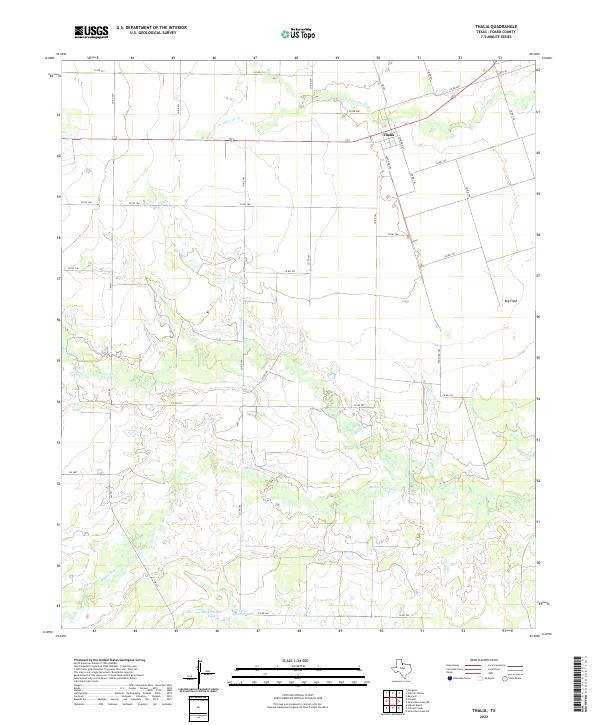
2022 Map of Thalia
USGS Topo · Published 2022About this map
Thalia stands as a focal point in this portion of Foard County, situated where FM 262 and Ranch Rd 262 meet at the north edge of the quadrangle. The settlement is defined by its simple grid including S Seymour St, reflecting the characteristic small-town layout of North Texas. The surrounding landscape is dominated by the hydrology of the Rolling Plains, where Paradise Cr cuts across the north and the multi-branched Beaver Cr and Middle Beaver Cr wind through the central and southern sections. These waterways are accompanied by rural water management features like the Mare Pasture Tank and Three-Quarter-Tank, which highlight the region's reliance on ranching and stock ponds. To the east, the expansive Big Field suggests significant agricultural or grazing land, typical of the open terrain found in this part of the state.
Find a feature on this map
33 named features on this map. Tap any name to fly to it.
Don’t see what you’re looking for? This feature index may not catch every label — zoom into the map to look around manually.
Map Details
Editions of this 2022 Thalia Map
This is the sole edition of this map. No revisions or reprints were ever made.
Other maps of this area

1954 · Wichita Falls
USGS Topo · 1:250,000

1955 · Lawton
USGS Topo · 1:250,000

1958 · Wichita Falls
USGS Topo · 1:250,000

1958 · Vernon
USGS Topo · 1:62,500

1958 · Medicine Mound
USGS Topo · 1:62,500

1966 · Santa Rosa Lake SW
USGS Topo · 1:24,000

1966 · Colwell Creek
USGS Topo · 1:24,000

1966 · Halsell Ranch
USGS Topo · 1:24,000

1966 · Crowell
USGS Topo · 1:24,000

1966 · Thalia
USGS Topo · 1:24,000