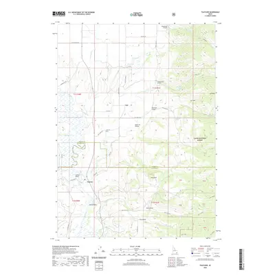
2020 Map of Thatcher
USGS Topo · Published 2020About this map
The Bear River meanders through the heart of this Franklin County landscape, shaping the development of Gentile Valley and the agricultural life of the surrounding basins. Irrigation systems, including the Gentile Valley Canal and Bench Canal, define the valley floor, supporting the small settlements of Thatcher and Mound Valley. To the north, the community of Lago sits near the Lago Cem, marking a cluster of early territorial settlement history.
Find a feature on this map
57 named features on this map. Tap any name to fly to it.
Don’t see what you’re looking for? This feature index may not catch every label — zoom into the map to look around manually.
Map Details
Editions of this 2020 Thatcher Map
This is the sole edition of this map. No revisions or reprints were ever made.
Other maps of this area

1915 · Preston
USGS Topo · 1:96,000

1918 · Preston
USGS Topo · 1:125,000

1948 · Bancroft
USGS Topo · 1:62,500

1948 · Soda Springs
USGS Topo · 1:62,500

1949 · Bancroft
USGS Topo · 1:62,500

1949 · Soda Springs
USGS Topo · 1:62,500

1955 · Preston
USGS Topo · 1:250,000

1958 · Preston
USGS Topo · 1:250,000

1962 · Preston
USGS Topo · 1:250,000
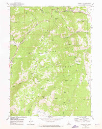
1969 · Midnight Mtn
USGS Topo · 1:24,000