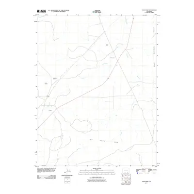
2010 Map of Thatcher
USGS Topo · Published 2010About this map
Thatcher and the nearby Houghton settlement define this semi-arid stretch of Las Animas County, where the landscape is marked by the necessities of ranching and industry. The presence of the Thatcher Clay Mine north of the main settlement suggests the local extraction of raw materials, while water management is evident through distributed landmarks like Double Tank Windmill and Corner Windmill. The terrain transitions from the Big Arroyo Hills in the south to the Bear Springs Hills in the northeast. Natural drainage is dictated by several seasonal watercourses, most notably Timpas Creek and the extensive Big Arroyo, which carve through the high plains. Elevation peaks locally at Tater Hill, providing a prominent navigational point in an otherwise broad, rolling expanse of southern Colorado.
Find a feature on this map
12 named features on this map. Tap any name to fly to it.
Don’t see what you’re looking for? This feature index may not catch every label — zoom into the map to look around manually.
Map Details
Editions of this 2010 Thatcher Map
This is the sole edition of this map. No revisions or reprints were ever made.
Other maps of this area

1891 · Timpas
USGS Topo · 1:125,000

1891 · Apishapa
USGS Topo · 1:125,000

1891 · Mesa De Maya
USGS Topo · 1:125,000

1892 · Elmoro
USGS Topo · 1:125,000

1893 · Apishapa
USGS Topo · 1:125,000

1893 · Elmoro
USGS Topo · 1:125,000

1893 · Mesa de Maya
USGS Topo · 1:125,000

1894 · Timpas
USGS Topo · 1:125,000

1897 · Elmoro
USGS Topo · 1:125,000

1897 · Apishapa
USGS Topo · 1:125,000