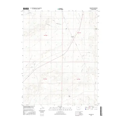
2016 Map of Thatcher
USGS Topo · Published 2016About this map
Thatcher and Houghton anchor this section of the Colorado high plains, situated along a transportation corridor that cuts diagonally through the arid landscape. The area is defined by its drainage systems, most notably Timpas Cr and the extensive Big Arroyo, which have carved subtle relief into the terrain over millennia. These watercourses were critical landmarks for early travelers and remain central to the geography of the township.
Find a feature on this map
22 named features on this map. Tap any name to fly to it.
Don’t see what you’re looking for? This feature index may not catch every label — zoom into the map to look around manually.
Map Details
Editions of this 2016 Thatcher Map
This is the sole edition of this map. No revisions or reprints were ever made.
Other maps of this area

1891 · Timpas
USGS Topo · 1:125,000

1891 · Apishapa
USGS Topo · 1:125,000

1891 · Mesa De Maya
USGS Topo · 1:125,000

1892 · Elmoro
USGS Topo · 1:125,000

1893 · Apishapa
USGS Topo · 1:125,000

1893 · Elmoro
USGS Topo · 1:125,000

1893 · Mesa de Maya
USGS Topo · 1:125,000

1894 · Timpas
USGS Topo · 1:125,000

1897 · Elmoro
USGS Topo · 1:125,000

1897 · Apishapa
USGS Topo · 1:125,000