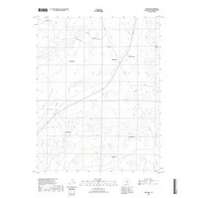
2019 Map of Thatcher
USGS Topo · Published 2019About this map
Thatcher and Houghton anchor this high-plains landscape in Las Animas County, where the terrain transitions through a series of prominent rises and seasonal watercourses. The drainage of Timpas Cr and the winding Big Arroyo define the local topography, carving paths through the Big Arroyo Hills and near the distinct summit of Tater Hill. To the northeast, the Bear Springs Hills rise above the surrounding flats, creating a varied landscape of ridges and basins.
Find a feature on this map
24 named features on this map. Tap any name to fly to it.
Don’t see what you’re looking for? This feature index may not catch every label — zoom into the map to look around manually.
Map Details
Editions of this 2019 Thatcher Map
This is the sole edition of this map. No revisions or reprints were ever made.
Other maps of this area

1891 · Timpas
USGS Topo · 1:125,000

1891 · Apishapa
USGS Topo · 1:125,000

1891 · Mesa De Maya
USGS Topo · 1:125,000

1892 · Elmoro
USGS Topo · 1:125,000

1893 · Apishapa
USGS Topo · 1:125,000

1893 · Elmoro
USGS Topo · 1:125,000

1893 · Mesa de Maya
USGS Topo · 1:125,000

1894 · Timpas
USGS Topo · 1:125,000

1897 · Elmoro
USGS Topo · 1:125,000

1897 · Apishapa
USGS Topo · 1:125,000