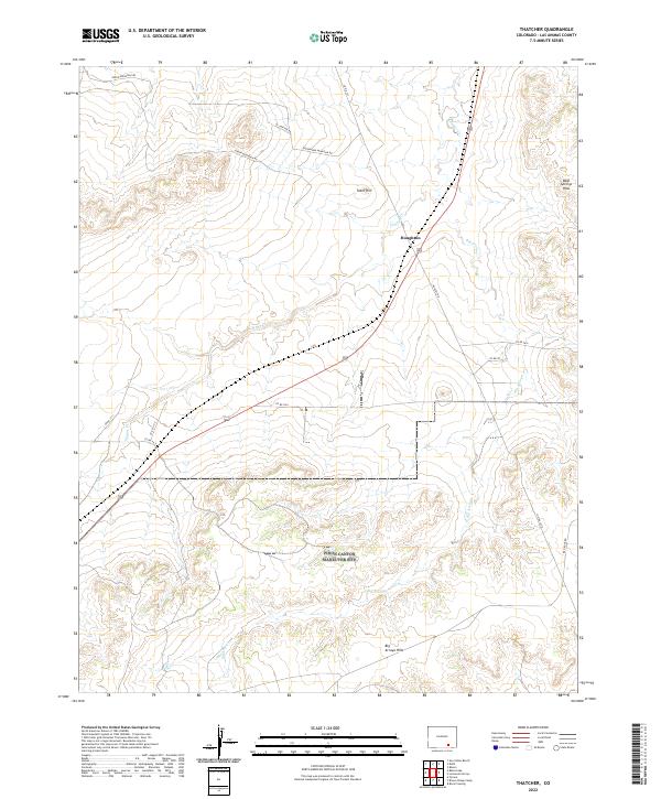
2022 Map of Thatcher
USGS Topo · Published 2022About this map
Houghton sits at a junction of rail and road in this high-desert region of Las Animas County, where the landscape is defined by a network of intermittent watercourses and distinct topographical rises. The drainage of Timpas Cr and Big Arroyo carves through the terrain, which transitions from the elevated Green Mountain in the northwest to the Big Arroyo Hills in the south. This 2022 survey illustrates a sparsely populated area primarily organized by the Public Land Survey System, with township and range lines such as t28s r60w providing a grid for cattle ranching and land management. Regional transport is facilitated by a web of local routes including Greenhorn Mountain Rd and Red Rock Rd, while landmarks like Tater Hill and the Bear Springs Hills serve as essential orientation points in the open country.
Find a feature on this map
24 named features on this map. Tap any name to fly to it.
Don’t see what you’re looking for? This feature index may not catch every label — zoom into the map to look around manually.
Map Details
Editions of this 2022 Thatcher Map
This is the sole edition of this map. No revisions or reprints were ever made.
Other maps of this area

1891 · Timpas
USGS Topo · 1:125,000

1891 · Apishapa
USGS Topo · 1:125,000

1891 · Mesa De Maya
USGS Topo · 1:125,000

1892 · Elmoro
USGS Topo · 1:125,000

1893 · Apishapa
USGS Topo · 1:125,000

1893 · Elmoro
USGS Topo · 1:125,000

1893 · Mesa de Maya
USGS Topo · 1:125,000

1894 · Timpas
USGS Topo · 1:125,000

1897 · Elmoro
USGS Topo · 1:125,000

1897 · Apishapa
USGS Topo · 1:125,000