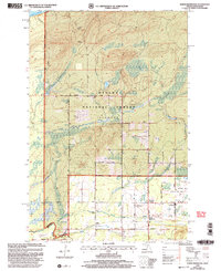
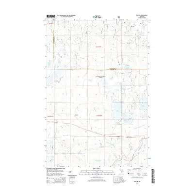
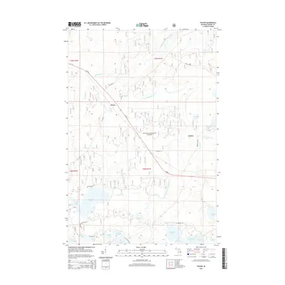
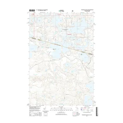
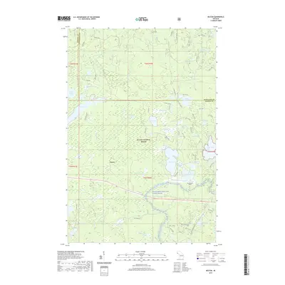
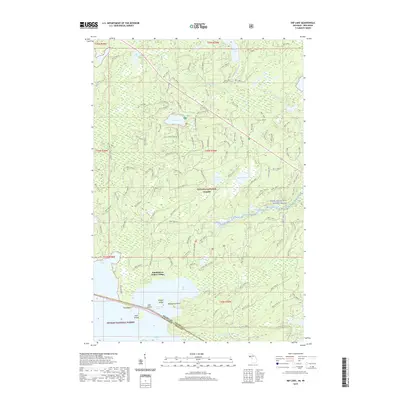
1952 Map of Thayer
USGS Topo · Published 1969About this map
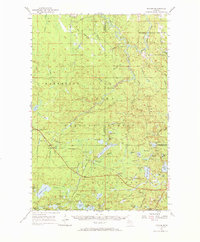
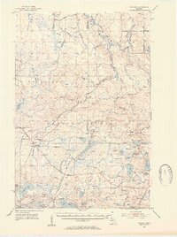
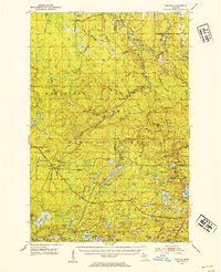
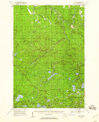
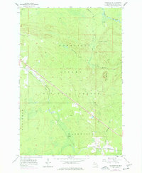
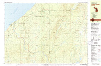
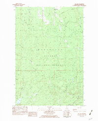
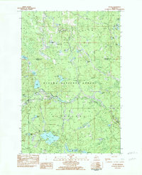
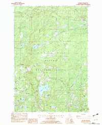
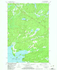
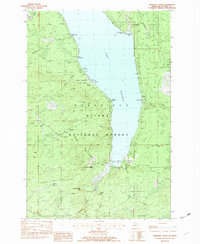
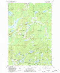
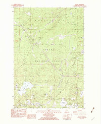
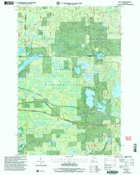
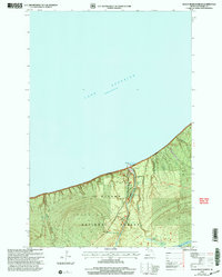
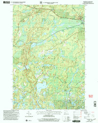
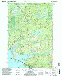
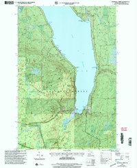
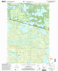
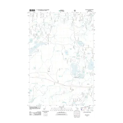
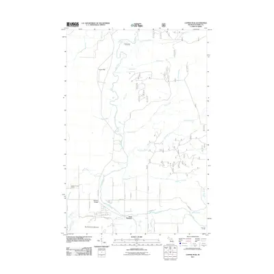
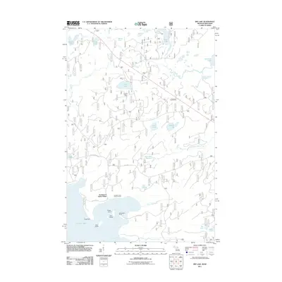
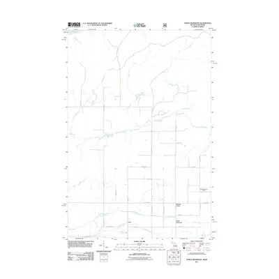
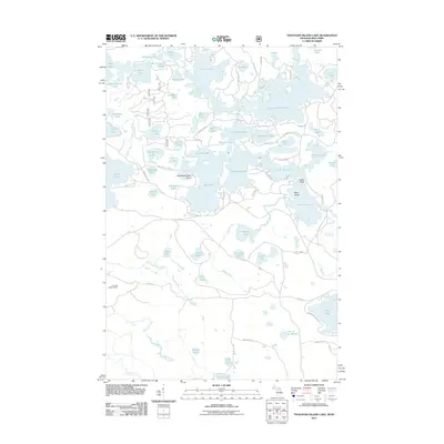
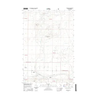
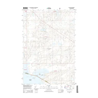
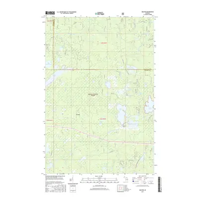
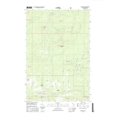
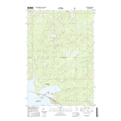
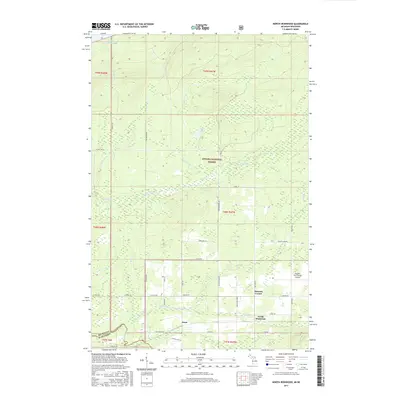
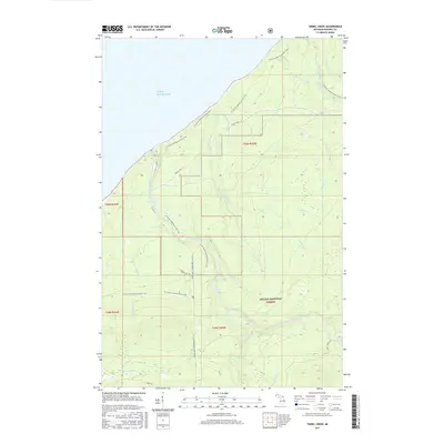
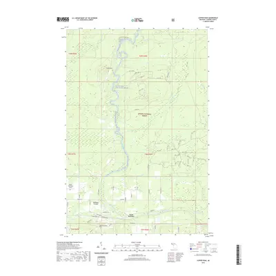
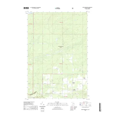
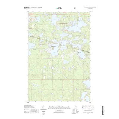
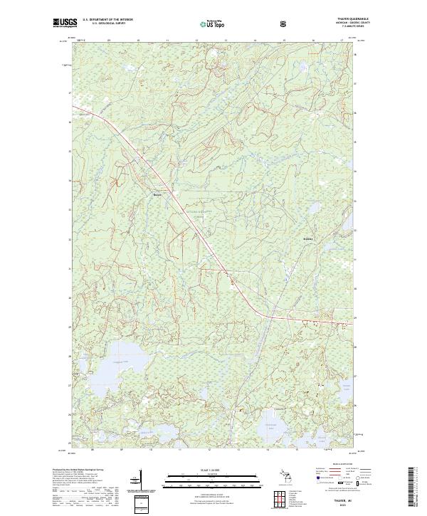
The Chicago and North Western railroad corridor anchors this 1952 topographic study of the western Upper Peninsula, providing a vital link through the deep woods of the Ottawa National Forest. The landscape is defined by an intricate network of glacial lakes and streams, including the prominent Beatons Lake and the smaller Ma In Gan Lake. At Gogebic Station, the rail line interacts with local geography, while secondary routes like Blacks Spur hint at the area's industrial past. The presence of both the Matchwood Lookout Tower and Watersmeet Lookout Tower underscores the region's managed wilderness character, while landmarks like Kukabika Falls on the Cisco Branch of the Ontonagon River mark the drainage patterns across the Gogebic and Ontonagon county line.
Find a feature on this map
79 named features on this map. Tap any name to fly to it.
Don’t see what you’re looking for? This feature index may not catch every label — zoom into the map to look around manually.
Map Details
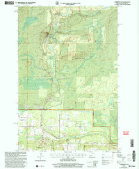
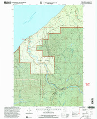
Editions of this 1952 Thayer Map
4 editions found
Historical Maps of Stickley Through Time
136 maps found

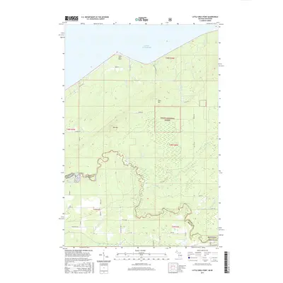
1943 Little Girls Point
Gogebic County, MI
1952 Thayer
Gogebic County, MI
1955 Wakefield NE
Gogebic County, MI
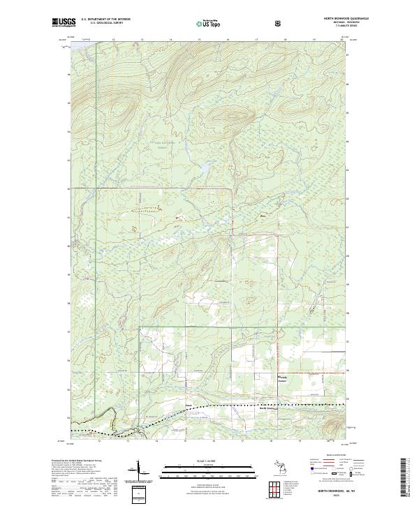
1956 North Ironwood
Gogebic County, MI
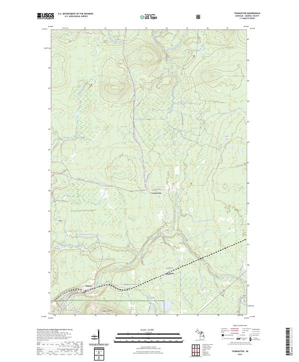
1956 Thomaston
Gogebic County, MI
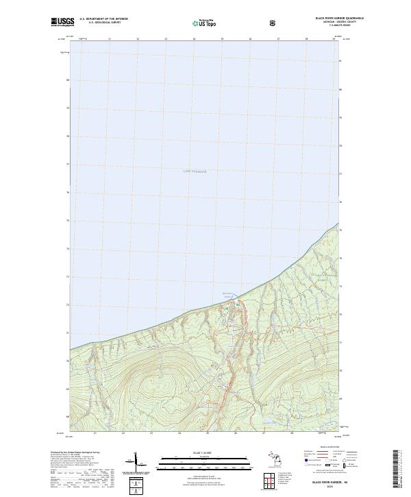
1980 Black River Harbor
Gogebic County, MI

1980 Little Girls Point
Gogebic County, MI
1980 Tiebel Creek
Gogebic County, MI

1981 Thomaston
Gogebic County, MI
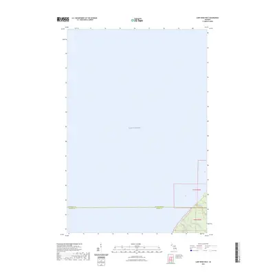
1981 Thousand Island Lake
Gogebic County, MI
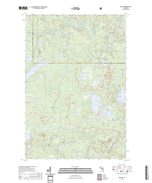
1982 Beaton
Gogebic County, MI
1982 Chaney Lake
Gogebic County, MI
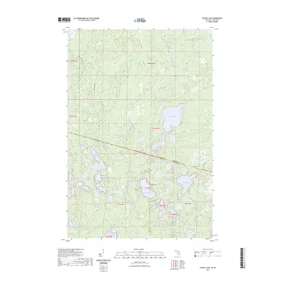
1982 Cup Lake
Gogebic County, MI
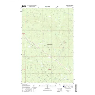
1982 Fuller
Gogebic County, MI
1982 Gogebic
Gogebic County, MI
1982 Imp Lake
Gogebic County, MI
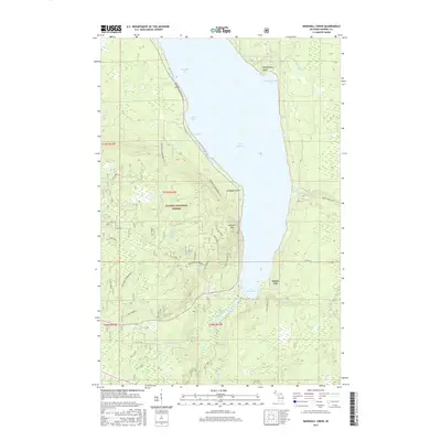
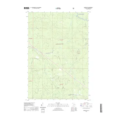
1982 Marshall Creek
Gogebic County, MI
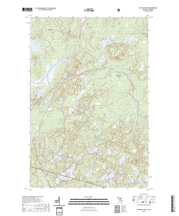
1982 Stateline Lake
Gogebic County, MI
1982 Thayer
Gogebic County, MI
1999 Beaton
Gogebic County, MI
1999 Black River Harbor
Gogebic County, MI
1999 Copper Peak
Gogebic County, MI
1999 Cup Lake
Gogebic County, MI
1999 Fuller
Gogebic County, MI
1999 Gogebic
Gogebic County, MI
1999 Imp Lake
Gogebic County, MI
1999 Marshall Creek
Gogebic County, MI
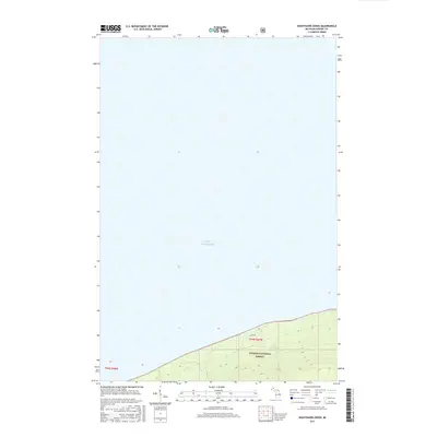
1999 Nighthawk Creek
Gogebic County, MI
1999 North Ironwood
Gogebic County, MI
1999 Stateline Lake
Gogebic County, MI
1999 Thayer
Gogebic County, MI
1999 Thomaston
Gogebic County, MI
1999 Thousand Island Lake
Gogebic County, MI
1999 Tiebel Creek
Gogebic County, MI
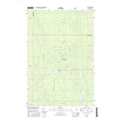
1999 Tula
Gogebic County, MI
1999 Wakefield NE
Gogebic County, MI
2011 Beaton
Gogebic County, MI
2011 Black River Harbor
Gogebic County, MI
2011 Carp River West
Gogebic County, MI
2011 Chaney Lake
Gogebic County, MI
2011 Copper Peak
Gogebic County, MI
2011 Cup Lake
Gogebic County, MI
2011 Fuller
Gogebic County, MI
2011 Gogebic
Gogebic County, MI
2011 Imp Lake
Gogebic County, MI
2011 Little Girls Point
Gogebic County, MI
2011 Marshall Creek
Gogebic County, MI
2011 Nighthawk Creek
Gogebic County, MI
2011 North Ironwood
Gogebic County, MI
2011 Stateline Lake
Gogebic County, MI
2011 Thayer
Gogebic County, MI
2011 Thomaston
Gogebic County, MI
2011 Thousand Island Lake
Gogebic County, MI
2011 Tiebel Creek
Gogebic County, MI
2011 Tula
Gogebic County, MI
2011 Wakefield NE
Gogebic County, MI
2014 Beaton
Gogebic County, MI
2014 Black River Harbor
Gogebic County, MI
2014 Carp River West
Gogebic County, MI
2014 Chaney Lake
Gogebic County, MI
2014 Copper Peak
Gogebic County, MI
2014 Cup Lake
Gogebic County, MI
2014 Fuller
Gogebic County, MI
2014 Gogebic
Gogebic County, MI
2014 Imp Lake
Gogebic County, MI
2014 Little Girls Point
Gogebic County, MI
2014 Marshall Creek
Gogebic County, MI
2014 Nighthawk Creek
Gogebic County, MI
2014 North Ironwood
Gogebic County, MI
2014 Stateline Lake
Gogebic County, MI
2014 Thayer
Gogebic County, MI
2014 Thomaston
Gogebic County, MI
2014 Thousand Island Lake
Gogebic County, MI
2014 Tiebel Creek
Gogebic County, MI
2014 Tula
Gogebic County, MI
2014 Wakefield NE
Gogebic County, MI
2017 Beaton
Gogebic County, MI
2017 Black River Harbor
Gogebic County, MI
2017 Carp River West
Gogebic County, MI
2017 Chaney Lake
Gogebic County, MI
2017 Copper Peak
Gogebic County, MI
2017 Cup Lake
Gogebic County, MI
2017 Fuller
Gogebic County, MI
2017 Gogebic
Gogebic County, MI
2017 Imp Lake
Gogebic County, MI
2017 Little Girls Point
Gogebic County, MI
2017 Marshall Creek
Gogebic County, MI
2017 Nighthawk Creek
Gogebic County, MI
2017 North Ironwood
Gogebic County, MI
2017 Stateline Lake
Gogebic County, MI
2017 Thayer
Gogebic County, MI
2017 Thomaston
Gogebic County, MI
2017 Thousand Island Lake
Gogebic County, MI
2017 Tiebel Creek
Gogebic County, MI
2017 Tula
Gogebic County, MI
2017 Wakefield NE
Gogebic County, MI
2019 Beaton
Gogebic County, MI
2019 Black River Harbor
Gogebic County, MI
2019 Carp River West
Gogebic County, MI
2019 Chaney Lake
Gogebic County, MI
2019 Copper Peak
Gogebic County, MI
2019 Cup Lake
Gogebic County, MI
2019 Fuller
Gogebic County, MI
2019 Gogebic
Gogebic County, MI
2019 Imp Lake
Gogebic County, MI
2019 Little Girls Point
Gogebic County, MI
2019 Marshall Creek
Gogebic County, MI
2019 Nighthawk Creek
Gogebic County, MI
2019 North Ironwood
Gogebic County, MI
2019 Stateline Lake
Gogebic County, MI
2019 Thayer
Gogebic County, MI
2019 Thomaston
Gogebic County, MI
2019 Thousand Island Lake
Gogebic County, MI
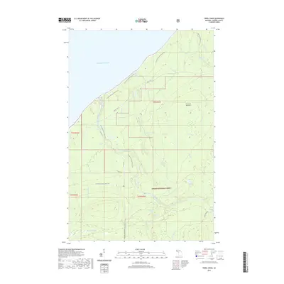
2019 Tiebel Creek
Gogebic County, MI
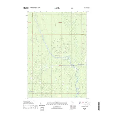
2019 Tula
Gogebic County, MI
2019 Wakefield NE
Gogebic County, MI
2023 Beaton
Gogebic County, MI
2023 Black River Harbor
Gogebic County, MI
2023 Carp River West
Gogebic County, MI
2023 Chaney Lake
Gogebic County, MI
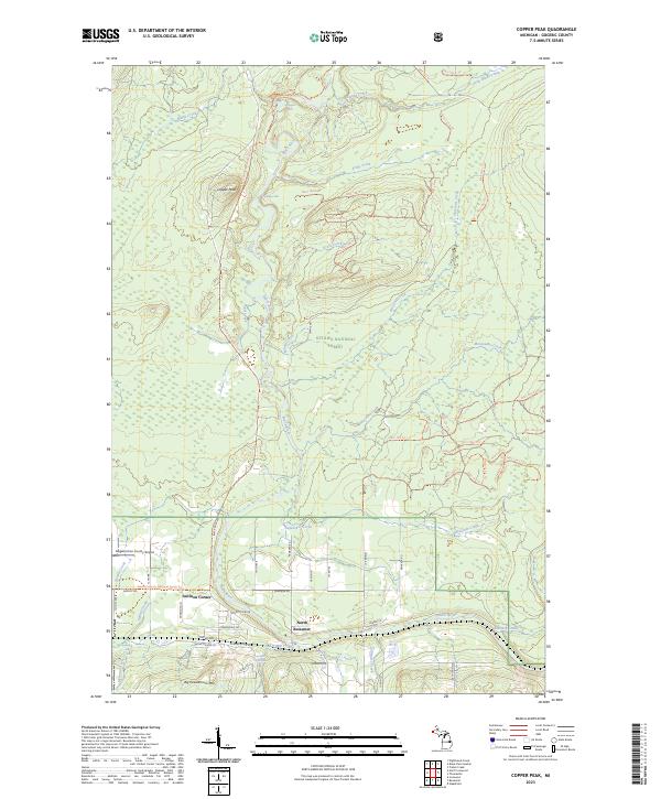
2023 Copper Peak
Gogebic County, MI
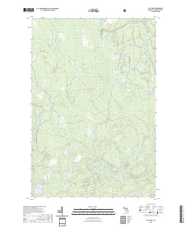
2023 Cup Lake
Gogebic County, MI
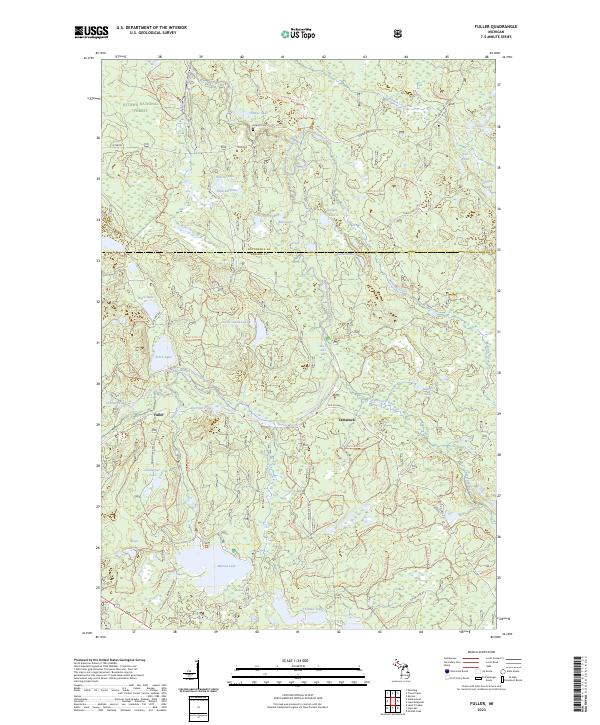
2023 Fuller
Gogebic County, MI
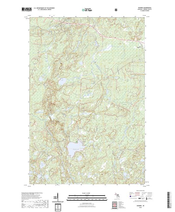
2023 Gogebic
Gogebic County, MI
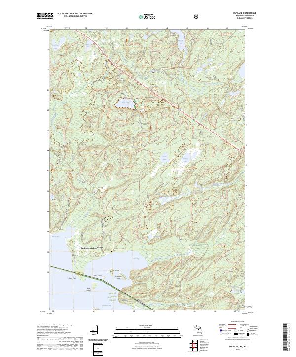
2023 Imp Lake
Gogebic County, MI
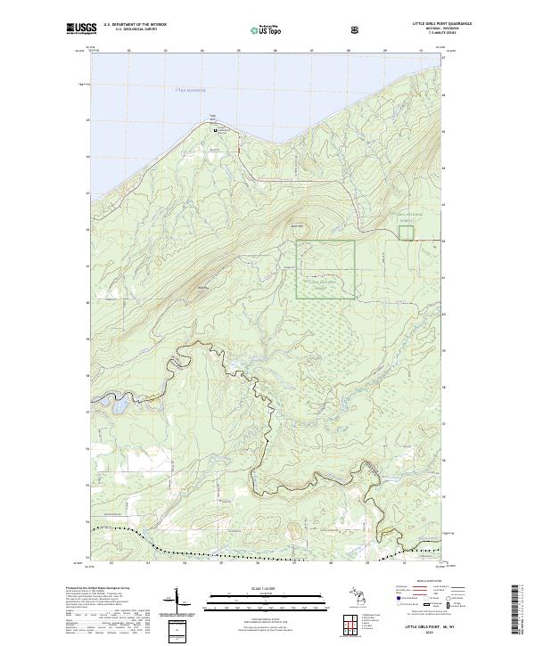
2023 Little Girls Point
Gogebic County, MI
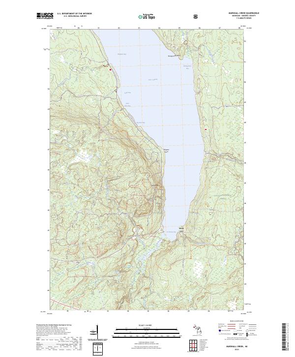
2023 Marshall Creek
Gogebic County, MI
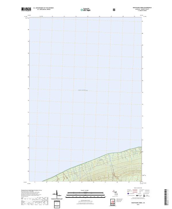
2023 Nighthawk Creek
Gogebic County, MI
2023 North Ironwood
Gogebic County, MI
2023 Stateline Lake
Gogebic County, MI
2023 Thayer
Gogebic County, MI
2023 Thomaston
Gogebic County, MI
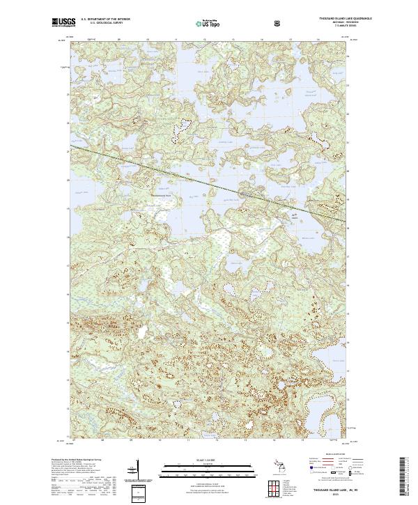
2023 Thousand Island Lake
Gogebic County, MI
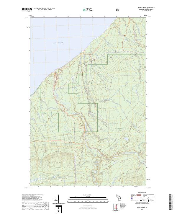
2023 Tiebel Creek
Gogebic County, MI
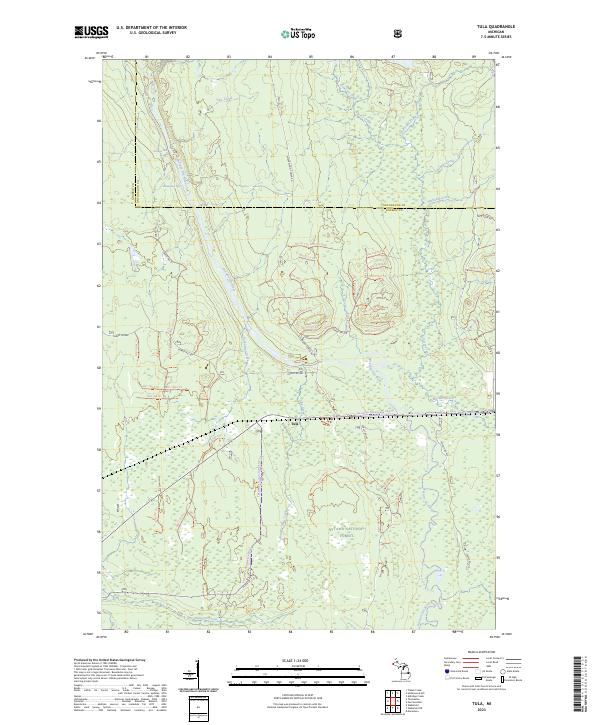
2023 Tula
Gogebic County, MI
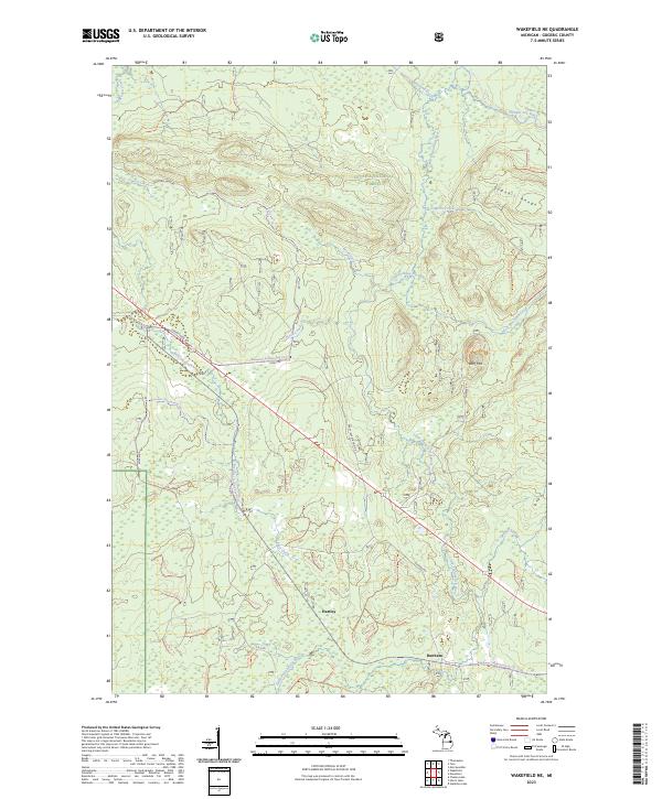
2023 Wakefield NE
Gogebic County, MI
Featured Locations
- Marenisco Township, MI
- Watersmeet Township, MI
- Haight Township, MI
- McMillan Township, MI
- Stickley, Watersmeet Township