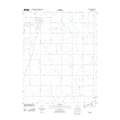
2012 Map of Thayer
USGS Topo · Published 2012About this map
Thayer sits at the northern edge of this Neosho County survey, where a grid of rural roads like Douglas Rd and Elk Rd connect the town to the surrounding agricultural landscape. The local geography is defined by a dense network of tributaries, including Big Hill Cr, Labette Cr, and Little Labette Cr, which weave through the southern sections of the township. Near the town center, Thayer City Lake and the Thayer Cem serve as primary landmarks, while further south, the S Center Cem provides a focal point for genealogical research in this rural district. The presence of Pearce Field Airport near the southeastern corner and the course of the Elk River at the northern boundary reflect the region's transport and drainage patterns during the early 21st century.
Find a feature on this map
39 named features on this map. Tap any name to fly to it.
Don’t see what you’re looking for? This feature index may not catch every label — zoom into the map to look around manually.
Map Details
Editions of this 2012 Thayer Map
This is the sole edition of this map. No revisions or reprints were ever made.
Other maps of this area

1886 · Fredonia
USGS Topo · 1:125,000

1886 · Iola
USGS Topo · 1:125,000

1886 · Independence
USGS Topo · 1:125,000

1886 · Parsons
USGS Topo · 1:125,000

1893 · Iola
USGS Topo · 1:125,000

1893 · Parsons
USGS Topo · 1:125,000

1894 · Fredonia
USGS Topo · 1:125,000

1894 · Independence
USGS Topo · 1:125,000

1904 · Iola
USGS Topo · 1:125,000

1905 · Independence
USGS Topo · 1:125,000