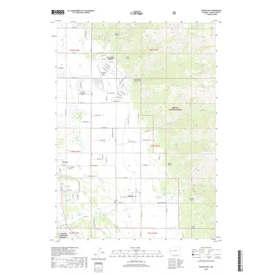
2018 Map of Thayne East
USGS Topo · Published 2018About this map
Star Valley Ranch occupies the northern half of this valley landscape, where the residential footprint meets the rising slopes of the Bridger National Forest. The map documents a distinct rural-to-suburban transition, with the Star Valley Ranch Airport and the Lone Pine Flying Ranch Airport serving this high-elevation community. Further south, the established settlements of Thayne and Bedford are recorded along the western valley floor, each with their respective landmarks such as Thayne Cem and Bedford Cem.
Find a feature on this map
91 named features on this map. Tap any name to fly to it.
Don’t see what you’re looking for? This feature index may not catch every label — zoom into the map to look around manually.
Map Details
Editions of this 2018 Thayne East Map
This is the sole edition of this map. No revisions or reprints were ever made.
Other maps of this area

1915 · Freedom
USGS Topo · 1:62,500

1921 · Afton
USGS Topo · 1:125,000

1931 · Jackson
USGS Topo · 1:125,000

1932 · Irwin
USGS Topo · 1:96,000

1935 · Irwin
USGS Topo · 1:125,000

1935 · Jackson
USGS Topo · 1:125,000

1955 · Driggs
USGS Topo · 1:250,000

1955 · Preston
USGS Topo · 1:250,000

1958 · Driggs
USGS Topo · 1:250,000

1958 · Preston
USGS Topo · 1:250,000