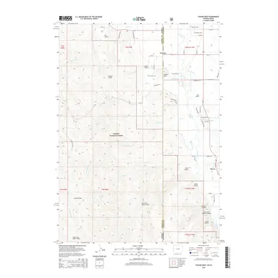
2015 Map of Thayne West
USGS Topo · Published 2015About this map
Freedom straddles the state line between Idaho and Wyoming, serving as a focal point for this high-altitude mountain valley. To the west, the landscape rises sharply into the Caribou Range, much of which is protected within the Caribou National Forest. This rugged terrain is etched with deep drainage systems like Log Canyon and Weber Canyon, while Old Man Ridge stands as a prominent divide.
Find a feature on this map
71 named features on this map. Tap any name to fly to it.
Don’t see what you’re looking for? This feature index may not catch every label — zoom into the map to look around manually.
Map Details
Editions of this 2015 Thayne West Map
This is the sole edition of this map. No revisions or reprints were ever made.
Other maps of this area

1915 · Freedom
USGS Topo · 1:62,500

1921 · Afton
USGS Topo · 1:125,000

1931 · Jackson
USGS Topo · 1:125,000

1932 · Irwin
USGS Topo · 1:96,000

1935 · Irwin
USGS Topo · 1:125,000

1935 · Jackson
USGS Topo · 1:125,000

1955 · Driggs
USGS Topo · 1:250,000

1955 · Preston
USGS Topo · 1:250,000

1958 · Driggs
USGS Topo · 1:250,000

1958 · Preston
USGS Topo · 1:250,000