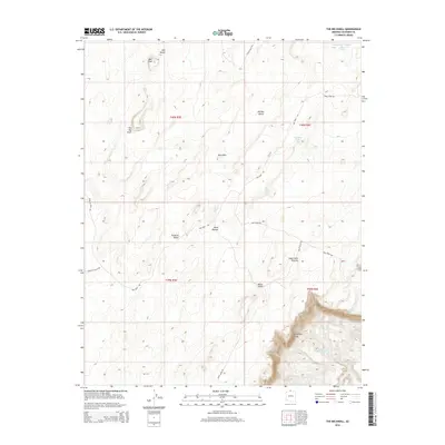
2014 Map of The Big Knoll
USGS Topo · Published 2014About this map
Vermilion Cliffs dominates the southern reaches of this landscape, marking a sharp topographic break from the expansive Paria Plateau above. This high-desert terrain is characterized by a series of prominent rises including The Big Knoll, White Knolls, and Red Knolls, which punctuate the arid valleys. The map reveals the infrastructure required for land management in this environment, with a network of primitive routes like Little Valley Rd and Joes Tank Rd connecting essential water sources. These include Soap Creek Number Two Tank and Quaking Aspen Tank, alongside the vital Cottonwood Spring. The layout of Soap Creek Pasture and named depressions like Kid Pen Valley suggest a long-standing use of the area for cattle ranging and seasonal grazing across the high plateau.
Find a feature on this map
27 named features on this map. Tap any name to fly to it.
Don’t see what you’re looking for? This feature index may not catch every label — zoom into the map to look around manually.
Map Details
Editions of this 2014 The Big Knoll Map
This is the sole edition of this map. No revisions or reprints were ever made.
Other maps of this area

1886 · Echo Cliffs
USGS Topo · 1:250,000

1891 · Echo Cliffs
USGS Topo · 1:250,000

1954 · Lees Ferry NW
USGS Topo · 1:24,000

1954 · Emmett Wash NE
USGS Topo · 1:24,000

1954 · Emmett Wash NW
USGS Topo · 1:24,000

1954 · Paria Plateau SE
USGS Topo · 1:24,000

1954 · Paria Plateau NW
USGS Topo · 1:24,000

1954 · Paria Plateau SW
USGS Topo · 1:24,000

1954 · Lees Ferry SW
USGS Topo · 1:24,000

1954 · Tanner Wash
USGS Topo · 1:62,500