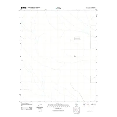
2012 Map of The Buttes
USGS Topo · Published 2012About this map
The Buttes provide the central topographic focus for this portion of San Bernardino County, where the desert landscape is defined by drainage patterns and subtle elevation changes. This 2012 survey by the U.S. Geological Survey documents a largely undeveloped terrain characterized by seasonal watercourses that create a complex network across the arid basin. The limited road network shown consists primarily of local and 4WD tracks, indicating a region that remains largely open and unpopulated. While the map is sparse in terms of human structures, it offers a high-resolution view of the natural landforms and the primitive paths that traverse this section of the High Desert, making it a reliable reference for understanding the physical geography and trail access in the area south of the Lockhart and Fremont Peak quadrangles.
Find a feature on this map
1 named feature on this map. Tap any name to fly to it.
Don’t see what you’re looking for? This feature index may not catch every label — zoom into the map to look around manually.
Map Details
Editions of this 2012 The Buttes Map
This is the sole edition of this map. No revisions or reprints were ever made.
Other maps of this area

1915 · Searles Lake
USGS Topo · 1:250,000

1932 · Barstow
USGS Topo · 1:125,000

1934 · Barstow
USGS Topo · 1:125,000

1937 · Kramer
USGS Topo · 1:48,000

1942 · Kramer
USGS Topo · 1:62,500

1947 · Kramer
USGS Topo · 1:24,000

1947 · Johannesburg SE
USGS Topo · 1:25,000

1947 · Trona
USGS Topo · 1:250,000

1948 · Trona
USGS Topo · 1:250,000

1953 · San Bernardino
USGS Topo · 1:250,000