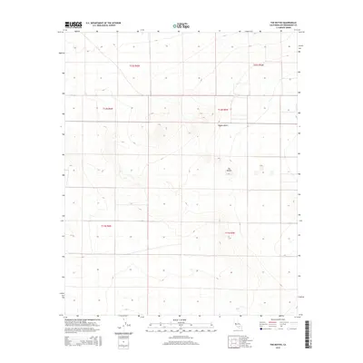
2015 Map of The Buttes
USGS Topo · Published 2015About this map
Mojave Desert terrain dominates this portion of San Bernardino County, characterized by a complex system of arid elevations and township-range boundaries. The most prominent physical landmark is The Buttes, a cluster of peaks that rise sharply from the surrounding desert floor in the northeast. This 2015 update from the U.S. Geological Survey provides a clear record of the grid system of the public land survey, including t32s r42e and t11n r5w, which dictate the spatial organization of this desert landscape. The map captures a sparsely developed area where the natural topography is the primary feature, revealing the intricate contour patterns of the various unnamed ridges and washes that define the local drainage and elevation profile.
Find a feature on this map
8 named features on this map. Tap any name to fly to it.
Don’t see what you’re looking for? This feature index may not catch every label — zoom into the map to look around manually.
Map Details
Editions of this 2015 The Buttes Map
This is the sole edition of this map. No revisions or reprints were ever made.
Other maps of this area

1915 · Searles Lake
USGS Topo · 1:250,000

1932 · Barstow
USGS Topo · 1:125,000

1934 · Barstow
USGS Topo · 1:125,000

1937 · Kramer
USGS Topo · 1:48,000

1942 · Kramer
USGS Topo · 1:62,500

1947 · Kramer
USGS Topo · 1:24,000

1947 · Johannesburg SE
USGS Topo · 1:25,000

1947 · Trona
USGS Topo · 1:250,000

1948 · Trona
USGS Topo · 1:250,000

1953 · San Bernardino
USGS Topo · 1:250,000