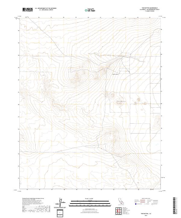
2021 Map of The Buttes
USGS Topo · Published 2021About this map
The Buttes rise as a prominent landform within this high-desert landscape, located in a remote section of the Mojave Desert in San Bernardino County. This 2021 survey illustrates the sparse, undeveloped character of the region, defined by its intricate system of ephemeral drainage channels and subtle elevation changes across a grid of section lines. The map reveals the intersection of several townships, including t11n r5w and t12n r6w, showing the enduring influence of the Public Land Survey System on the modern management of this arid environment. Primarily a study of natural topography and boundaries, the sheet provides an exacting look at the desert floor's contours and the isolated geographic features that anchor this portion of the California interior.
Find a feature on this map
8 named features on this map. Tap any name to fly to it.
Don’t see what you’re looking for? This feature index may not catch every label — zoom into the map to look around manually.
Map Details
Editions of this 2021 The Buttes Map
This is the sole edition of this map. No revisions or reprints were ever made.
Other maps of this area

1915 · Searles Lake
USGS Topo · 1:250,000

1932 · Barstow
USGS Topo · 1:125,000

1934 · Barstow
USGS Topo · 1:125,000

1937 · Kramer
USGS Topo · 1:48,000

1942 · Kramer
USGS Topo · 1:62,500

1947 · Kramer
USGS Topo · 1:24,000

1947 · Johannesburg SE
USGS Topo · 1:25,000

1947 · Trona
USGS Topo · 1:250,000

1948 · Trona
USGS Topo · 1:250,000

1953 · San Bernardino
USGS Topo · 1:250,000