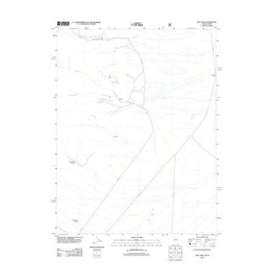
2012 Map of The Cove
USGS Topo · Published 2012About this map
Hendries Mill stands as a distinct marker of early industry in this high-desert basin of White Pine County. The landscape is defined by the broad expanse of The Cove, where drainage from the surrounding peaks flows through Hendrys Cr and its S Fork Hendrys Cr. To the south, the terrain becomes more dramatic with the etched paths of Red Ledge Canyon and Old Mans Canyon. A network of Forest Service roads, including NFD 429 RD and Hampton Creek Rd, provides access to these remote reaches. Reliable water sources like Caine Spring, Pipe Spring, and Red Spring highlight the essential points for survival and ranching in this arid environment. Near the eastern edge, Robison Ranch indicates the long-standing agricultural presence that has utilized the runoff from Hampton Cr for generations.
Find a feature on this map
16 named features on this map. Tap any name to fly to it.
Don’t see what you’re looking for? This feature index may not catch every label — zoom into the map to look around manually.
Map Details
Editions of this 2012 The Cove Map
This is the sole edition of this map. No revisions or reprints were ever made.
Other maps of this area

1908 · Fish Springs
USGS Topo · 1:250,000

1910 · Fish Springs
USGS Topo · 1:250,000

1953 · Delta
USGS Topo · 1:250,000

1956 · Ely
USGS Topo · 1:250,000

1958 · Delta
USGS Topo · 1:250,000

1959 · Ely
USGS Topo · 1:250,000

1960 · Conger Range
USGS Topo · 1:62,500

1960 · Gandy
USGS Topo · 1:62,500

1962 · Delta
USGS Topo · 1:250,000

1963 · Ely
USGS Topo · 1:250,000