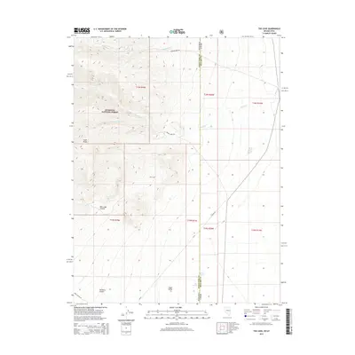
2015 Map of The Cove
USGS Topo · Published 2015About this map
Snake Range peaks dominate the western half of this Nevada-Utah borderland, where steep slopes descend into the broad expanse of Snake Valley. Within the Humboldt National Forest, the topography is carved by deep drainages like Red Ledge Canyon and Old Mans Canyon, while seasonal water sources such as Caine Spring and Pipe Spring provide critical points of interest in the arid landscape. The settlement of The Cove sits at the base of the mountains, marking a transition between the high-altitude terrain and the valley floor. Primitive routes like Hampton Creek Rd and Hendry Creek Rd trace the paths of Hampton Cr and Hendrys Cr, reflecting a traditional western landscape where road networks are dictated by the natural corridors of the mountain front.
Find a feature on this map
26 named features on this map. Tap any name to fly to it.
Don’t see what you’re looking for? This feature index may not catch every label — zoom into the map to look around manually.
Map Details
Editions of this 2015 The Cove Map
This is the sole edition of this map. No revisions or reprints were ever made.
Other maps of this area

1908 · Fish Springs
USGS Topo · 1:250,000

1910 · Fish Springs
USGS Topo · 1:250,000

1953 · Delta
USGS Topo · 1:250,000

1956 · Ely
USGS Topo · 1:250,000

1958 · Delta
USGS Topo · 1:250,000

1959 · Ely
USGS Topo · 1:250,000

1960 · Conger Range
USGS Topo · 1:62,500

1960 · Gandy
USGS Topo · 1:62,500

1962 · Delta
USGS Topo · 1:250,000

1963 · Ely
USGS Topo · 1:250,000