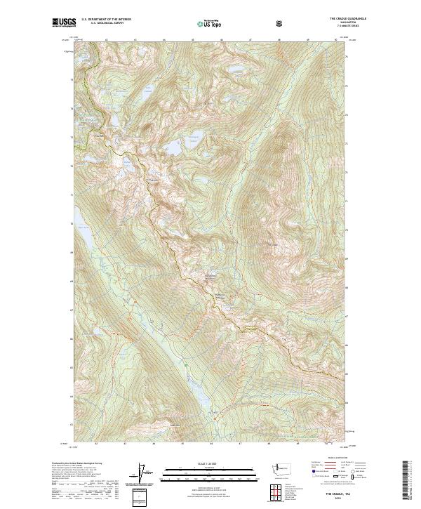
2023 Map of The Cradle
USGS Topo · Published 2023About this map
The Cradle stands as a prominent landmark at the intersection of the Wenatchee National Forest and the Alpine Lakes Wilderness. This high-elevation terrain is defined by a complex network of alpine basins containing numerous water bodies such as the Klonaqua Lakes, Robin Lakes, and Lake Leland. The landscape is largely inaccessible by road, instead connected by historic paths like the Paddy Go Easy Pass Trl and the French Ridge Trl.
Find a feature on this map
67 named features on this map. Tap any name to fly to it.
Don’t see what you’re looking for? This feature index may not catch every label — zoom into the map to look around manually.
Map Details
Editions of this 2023 The Cradle Map
This is the sole edition of this map. No revisions or reprints were ever made.
Other maps of this area

1897 · Mount Stuart
USGS Topo · 1:125,000

1901 · Chiwaukum
USGS Topo · 1:125,000

1901 · Snoqualmie Pass
USGS Topo · 1:125,000

1902 · Skykomish
USGS Topo · 1:125,000

1902 · Mount Stuart
USGS Topo · 1:125,000

1903 · Snoqualmie
USGS Topo · 1:125,000

1904 · Chiwaukum
USGS Topo · 1:125,000

1905 · Skykomish
USGS Topo · 1:125,000

1957 · Wenatchee
USGS Topo · 1:250,000

1961 · Mount Stuart
USGS Topo · 1:62,500