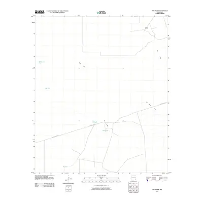
2010 Map of The Divide
USGS Topo · Published 2010About this map
The Divide characterizes this high-desert landscape in Lea County, serving as a subtle topographical boundary between the surrounding basins. In 2010, the area is defined by its industrial activity and cattle-rearing infrastructure, most notably the Hat Mesa Gas Field situated in the northeast. The reliance on managed water sources in this arid environment is evident through a network of named livestock tanks, including Rockbottom Tank, Lost Tank, and Red Tank.
Find a feature on this map
11 named features on this map. Tap any name to fly to it.
Don’t see what you’re looking for? This feature index may not catch every label — zoom into the map to look around manually.
Map Details
Editions of this 2010 The Divide Map
This is the sole edition of this map. No revisions or reprints were ever made.
Other maps of this area

1939 · Nash Draw
USGS Topo · 1:62,500

1942 · Clayton Basin
USGS Topo · 1:62,500

1943 · Clayton Basin
USGS Topo · 1:62,500

1943 · Nash Draw
USGS Topo · 1:62,500

1954 · Hobbs
USGS Topo · 1:250,000

1958 · Hobbs
USGS Topo · 1:250,000

1963 · Laguna Gatuna
USGS Topo · 1:62,500

1963 · Hat Mesa
USGS Topo · 1:62,500

1978 · Jal
USGS Topo · 1:100,000

1984 · Lea
USGS Topo · 1:24,000