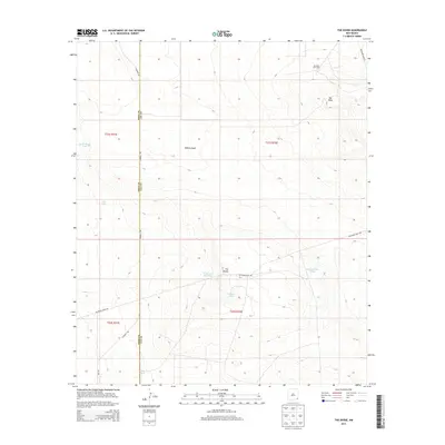
2013 Map of The Divide
USGS Topo · Published 2013About this map
The High Plains of the Llano Estacado meet the industrial energy landscape of New Mexico in this 2013 survey. Dominating the north-central terrain is Bilbrey Basin, a natural depression situated near the prominent Hat Mesa. The presence of the Hat Mesa Gas Field in the northeast corner highlights the area's role in the Permian Basin's petroleum extraction economy.
Find a feature on this map
18 named features on this map. Tap any name to fly to it.
Don’t see what you’re looking for? This feature index may not catch every label — zoom into the map to look around manually.
Map Details
Editions of this 2013 The Divide Map
This is the sole edition of this map. No revisions or reprints were ever made.
Other maps of this area

1939 · Nash Draw
USGS Topo · 1:62,500

1942 · Clayton Basin
USGS Topo · 1:62,500

1943 · Clayton Basin
USGS Topo · 1:62,500

1943 · Nash Draw
USGS Topo · 1:62,500

1954 · Hobbs
USGS Topo · 1:250,000

1958 · Hobbs
USGS Topo · 1:250,000

1963 · Laguna Gatuna
USGS Topo · 1:62,500

1963 · Hat Mesa
USGS Topo · 1:62,500

1978 · Jal
USGS Topo · 1:100,000

1984 · Lea
USGS Topo · 1:24,000